
What is recorded here
Indicated is a fairy fort on a SE-facing slope in County Monaghan, Ireland. Its earthen bank and outer fosse still mark a circular grass area about thirty-five metres across, with a causeway leading through the SE entrance. The shape suggests people once lived, worked or excluded others within that small boundary. Much of its purpose has faded, but the ridge and ditch preserve the fact that the place was shaped for human use.
Situated on a SE-facing slope of a NE-SW drumlin ridge. This is a circular grass and scrub-covered area (diam. 35.4m WNW-WSW; 34m NNW-SSE) that slopes down to the SE defined by an earthen bank (Wth of base c. 5m; int. H 1m generally to 2m at W; ext. H 2.4-3m) and hedge with an outer fosse best preserved (Wth of top 5.2m; Wth of base 3.7m; ext. D 1.3m) NE-ESE. The entrance (Wth of base 2.5m) and causeway (Wth of top 3.4m; H 0.4m) is at SE.
The above description is derived from the published 'Archaeological Inventory of County Monaghan' (Dublin: Stationery Office, 1986). In certain instances the entries have been revised and updated in the light of recent research.
Date of revision: 30 August 2017
The monument record does not grant public access. Check the route and ask the landowner before entering private land.
- What survives
- Recorded monument
Places near here
 Crannog in DrumgoastCrannog · 1135 yd
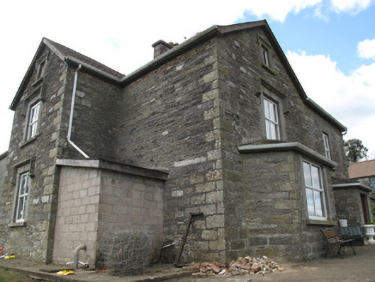 Clonamully Househouse · 1644 yd
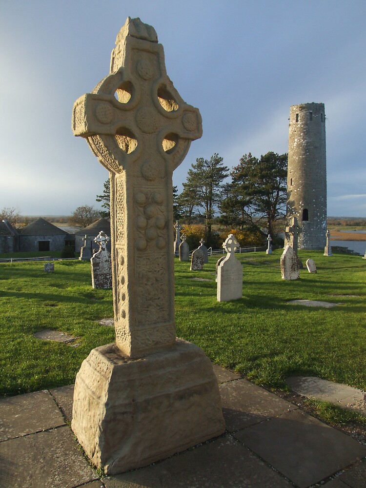 Cross in ClonamullyCross · 1686 yd
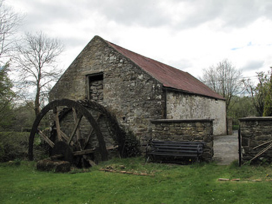 Drummans Millmill (water) · 1.0 mi
 Rough HillMountain / peak · 1.9 mi
 Attack on Derryard checkpointterrorist attack · 3.1 mi
 Western RedcedarWestern Redcedar · 3.3 mi
 Coast RedwoodCoast Redwood · 3.3 mi
 Sliabh Beagh Hotel and Tourism CentreVisitor information · 3.6 mi
 Jaundice WellSpring · 4.0 mi
 Banba GiantHeritage attraction · 4.6 mi
 Roddy-Den-Drum GiantHeritage attraction · 4.6 mi
Other information
Photo: Credit not shown in the picture search · Rights wording not checked; contact us if this picture should be removed