What is recorded here
A single roundwood and two fragmentary pieces of brushwood on the field surface (L 3.25m min.; Wth 0.65m; D 0.075m). A bulldozer machine has extensively damaged this site. The brushwood (diam. 0.015-0.03m) survives as fragments and bark. A very fragile, possible stone toolmark survives at one end of the roundwood. The site lies in well-humified fen peat with Phragmites and woody roots. Recorded by the Irish Archaeological Wetland Unit (University College, Dublin) in 2002. The evidence is not sufficient to warrant its acceptance as the remains of an archaeological monument.
The original survey description was compiled by the Irish Archaeological Wetland Unit (University College, Dublin). Assessed and revised by: Caimin O'Brien, Paul Walsh
Date of upload: 23 May 2011
The monument record does not grant public access. Check the route and ask the landowner before entering private land.
- What survives
- Recorded monument
Places near here
 Settlement desertedSettlement deserted, medieval · 756 yd
 Derrygreenagh HillMountain / peak · 1062 yd
 StructureStructure, peatland · 1257 yd
 RoadRoad, class 3 togher · 1341 yd
 Knockdrin HillMountain / peak · 1.5 mi
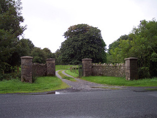 Sidebrook Housegates/railings/walls · 1.6 mi
 Croghan HillMountain / peak · 2.7 mi
 OConor Falys or Croghan Castle (in ruins)House, fortified house · 3.0 mi
 Finnrenashark Holy WellSpring · 3.1 mi
 Croghan Hill WalkVisitor information · 3.1 mi
 Castlelost MoatCastle, motte and bailey · 3.3 mi
 Holy PlantationForest · 3.9 mi