What is recorded here
In pasture. Depicted as a tree-lined circular enclosure on the 1837 ed. of the OS 6-inch map. Not visible at ground level.
Compiled by: Patrick F. O'Donovan
Date of upload: 10 January 2012
The monument record does not grant public access. Check the route and ask the landowner before entering private land.
- What survives
- Recorded monument
Places near here
 Enclosure in Caltragh BegEnclosure · 675 yd
 RoadRoad, class 2 togher · 788 yd
 IndicatedFairy fort / earthen ringfort · 885 yd
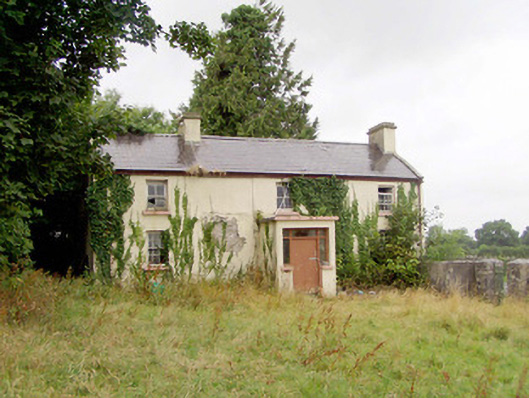 J. Hopkinshouse · 1567 yd
 Caltragh CastleCastle, unclassified · 1750 yd
 Elfeet CastleCastle, Anglo-Norman masonry castle · 2.3 mi
 Culnagore WoodForest · 2.6 mi
 Elfeet BayBay · 2.9 mi
 Bush IslandIslet · 2.9 mi
 Leveran IslandIslet · 3.1 mi
 White Sand WoodWood · 4.6 mi
 Pollagh BayBay · 4.6 mi