What is recorded here
Mapped graveyard is a graveyard in County Derry, Ireland. Perhaps the graves stand close together because the land was narrow or the deadline was sharp. Maybe the dead knew each other, or they belonged to one village, one faith, one long struggle. Imagine walking past them at dusk, hearing no voice but feeling the weight of every life that ended and stopped moving.
Mapped graveyard is a graveyard in County Derry, Ireland.
Places near here
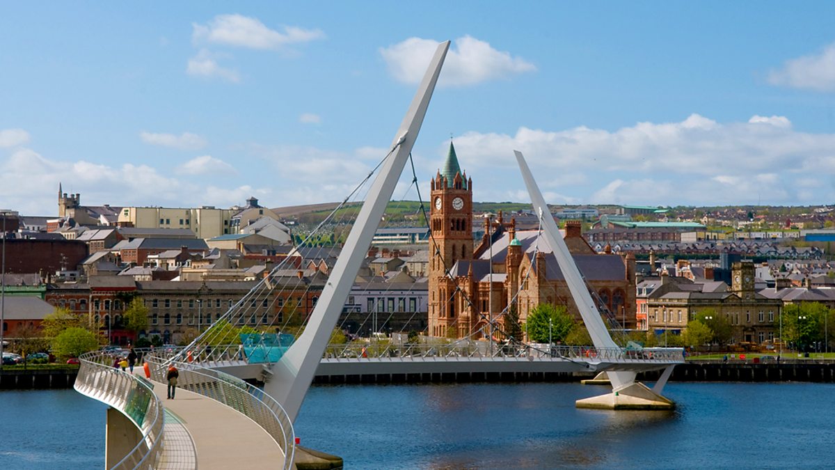 CHURCH (site of): GORTICROSS FIELD in OghillCHURCH (site of): GORTICROSS FIELD · 1.1 mi
 HIGH CROSS (now moved to Ldy 023:019) in OghillHIGH CROSS (now moved to Ldy 023:019) · 1.1 mi
 CHURCH in TemplemoyleCHURCH · 1.7 mi
 CHURCH GABLE: EGLINTON CHURCH in MuffCHURCH GABLE: EGLINTON CHURCH · 2.7 mi
 The Ness WoodWood · 2.8 mi
 Loughermore ForestForest · 3.8 mi
 LoughermoreMountain / peak · 4.0 mi
 Brackfield BawnCastle · 4.0 mi
 CHURCH & GRAVEYARD: ENAGH or DOMNACH DOLA in TempletownCHURCH & GRAVEYARD: ENAGH or DOMNACH DOLA · 4.0 mi
 Siege of Derry Boom Stone"The Boom Stone" (Traditionally part of 17th century boom across the River Foyle during the Siege of Derry) · 5.0 mi
 Siege of DerrySiege and battlefield · 5.4 mi
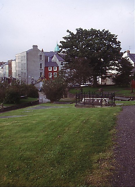 Cathedral viewViewpoint · 5.4 mi