What is recorded here
Ring Rath is an archaeological place in County Derry, where a rath suggests a fortified settlement or ritual boundary rather than a casual mound. The name joins a ring shape with Rath, a word still alive in Irish for a fort or enclosed land. Whatever lived there may have marked territory, resisted invasion or given birth to stories now lost. The ground keeps its shape while memory thins, inviting imagination to fill the gap without pretending the gap is closed.
Ring Rath is recorded as a archaeological place in County Derry. Its open map record supplies this location and any linked names or public references.
Places near here
 Drumnaph ForestWood · 358 yd
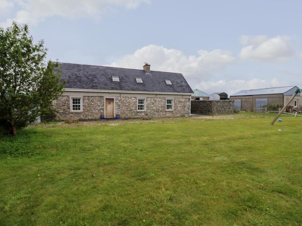 ENCLOSURE in GlebeENCLOSURE · 888 yd
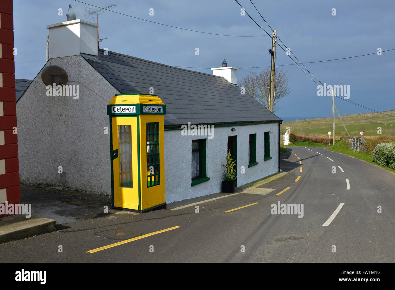 ENCLOSURE in CarrowmenaghENCLOSURE · 1130 yd
 St. John The Baptist RC ChurchChurch · 1.9 mi
 Altkeeran WaterfallWaterfall · 2.3 mi
 Ulster BankBank · 2.4 mi
 Craigadick Picnic AreaPicnic place · 2.9 mi
 Corick MountainMountain / peak · 5.0 mi
 Scroggy Mass RockNamed rock · 6.0 mi
 Carn HillMountain / peak · 6.2 mi
 Craig-na-ShokeCliff · 6.3 mi
 Moydamlaght ForestForest · 6.9 mi