What is recorded here
On a slight rise in reclaimed pasture 800m SE of the summit of Derk Hill (OD 781 ft.) and 220m E of townland boundary with Knockderk. Fields enclosed by drainage ditches associated with estate belonging to Derk House located 650m to NE. One of a cluster of 14 barrows
(LI033-036001/009; LI033-090/91-; LI033-121/122----; LI033-154----) concentrated in the S half of Derk townland with the closest barrow (LI033-036004-) 15m to W. Not depicted on OSi maps.
Surveyed by the ASI in 2007 and described as a circular-shaped area (dims. 3.4m N-S; 4.2m E-W) defined by a fosse (Wth 3.55m- 3.65m; D 0.2m -0.25m) and external bank (Wth 4.4m-4.5m; int. H 0.2m 0.25m; ext. H 0.15m-0.2m) best defined from NE-SE. Truncated at NW by linear drain running NE-SW. Faint outline of monument visible as a cropmark on OSi orthophotos taken 2005-2012 and on Google Earth orthoimage dated 18/11/2018.
See attached Google Earth orthoimages
Compiled by: Martin Fitzpatrick
Date of upload: 22 March 2021
A ring-barrow, likely dating to the Early Bronze Age, associated with a low-lying burial mound on a slight rise; its location suggests a possible link to early land management and estate systems in the region.
The monument record does not grant public access. Check the route and ask the landowner before entering private land.
- What survives
- Recorded monument
Places near here
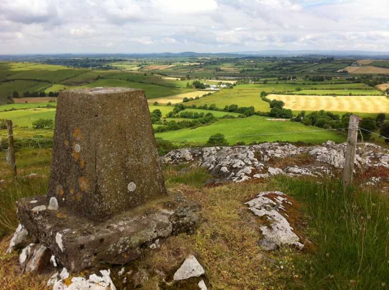 Enclosure in DerkEnclosure · 154 yd
 BarrowBarrow, ditch barrow · 157 yd
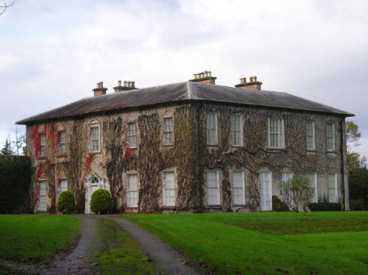 Derkcountry house · 708 yd
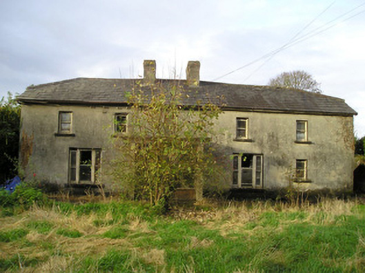 Derk Cottagehouse · 1057 yd
 Site of Ballyneety CastleCastle, unclassified · 1.1 mi
 (Site of) CastleCastle, unclassified · 1.3 mi
 St. Patrick's WellSpring · 2.4 mi
 Kilteely HillMountain / peak · 2.5 mi
 KnockseefinMountain / peak · 2.6 mi
 Flat cemetery in Knockainy WestFlat cemetery · 6.0 mi
 St Patrick's WellSpring · 7.1 mi
 Ballinvreena LoopVisitor information · 10 mi