What is recorded here
Grave (Urn found 1924) is a low bowl-barrow in County Limerick, Ireland, where an urn of cremated bone emerged in 1924. It sits among three burial mounds on the supposed site of Temaír Erann, ancient cemetery of the Ernai tribe on Slievereagh. The mound is less than three feet high and about thirty-six feet across, with a broken stone kerb and a shallow incomplete ditch at its edge.
In rough pasture, in centre of an archaeological complex (LI048-034006/042-) located on the 'Supposed Site of Temaír Erann', which was the ancient cemetery of the Ernai tribe on Slievereagh (Sliabh Riabhach) (Westropp 1919, 9; Westropp 1917-19, 179; Westropp 1918, 111). One of three burial mounds (LI048-034010/012-), within a large field system (LI048-034001-), ringfort (LI048-034008-) lies 20m to NE. The most northerly of three bowl-barrows (LI048-034010/012-), within a large field system (LI048-034001-), ringfort (LI048-034008-) lies 20m to NE. Described by Westropp (1916-17, 465) as one of three tumuli consisting of; ‘a levelled mound (c), only a few feet high, 12 feet [3.6m] across, with a rock of conglomerate about 4 feet [1.2m] long on its base.’ Listed as Tumulus I by Ó Ríordáin (1940, 133-137) the burial mound was partially excavated in 1924 by T. Shea and the remains of an urn with cremated bone (LI048-034038-) uncovered and reinterred. Excavations of the mound (H. 0.9m; diam. 11m) undertaken by Ó Ríordáin between 1934-5, revealed a cist (LI048-034039-) and the barrow was described as following; ‘This mound was low and insignificant in comparison with T [umulus] II [LI048-034012-] and T [umulus] III [LI048-034011-]. Its maximum height over ground-level was less than 3 feet [0.9m], and its greatest diameter about 36 feet [11m]. No signs of a surrounding fosse showed on the surface but there were some upright stones at the edge of the tumulus, others of which were revealed on excavation making a total of six found in position, which represented the remains of the kerb of the tumulus’ (ibid. 133). Excavations revealed, ‘that the greater portion of it was covered by a paving of small stones packed rather closely together. This paving was at varying depths of 18 inches [0.45m] or less under the surface. On and among the stones of this paving we found scattered fragments of small deposits of cremated bones’ (ibid. 135). A possible fosse was also recorded inside the edge of the mound and ‘it did not make a complete circle, there being a gap of about one-fifth of its circumference on the northern side’ (ibid. 136).
See attached plans and photos from Ó Ríordáin and Google Earth orthoimages.
Compiled by: Fiona Rooney
Date of upload: 27 August 2021
A Bronze Age cist grave, significant as part of the archaeological complex associated with the ancient cemetery of the Ernai tribe.
The monument record does not grant public access. Check the route and ask the landowner before entering private land.
- What survives
- Recorded monument
Places near here
 Quarry in CushQuarry · 18 yd
 Man-made underground passage in CushMan-made underground passage · 151 yd
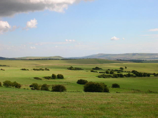 Field system in CushField system · 158 yd
 Bosnetstown Villahouse · 1137 yd
 Ballinvreena LoopVisitor information · 1151 yd
 SlievereaghMountain / peak · 1.7 mi
 Palatine's RockNamed rock · 1.7 mi
 Castle (in ruins)Castle, tower house · 1.8 mi
 Ballyhoura tourist informationVisitor information · 1.9 mi
 Ballyhoura WayWalking route · 1.9 mi
 Treada Na Ríogh (The Moat), hachuredCastle, motte · 2.0 mi
 Edmund's WellSpring · 2.2 mi