What is recorded here
Fairy fort / earthen ringfort in Curraghtarsna is a fairy fort or earthen ringfort in Curraghtarsna, County Tipperary, Ireland. The oval enclosure measures about 40 metres west-northwest to east-southeast and 35 metres north-northwest to south-southeast. A 3.2-metre-wide earthen bank surrounds the site, rising 1.75 metres externally and 0.45 metres internally. A 5.6-metre-wide ditch cuts through the ground beside the bank, reaching a depth of 1.1 metres.
In improved pasture, with a slight tilt downslope to SW. Oval area (dims. c. 40m WNW-ESE; c. 35m NNW-SSE) defined by earthen bank (overall Wth 3.2m; int. H 0.45m; ext. H 1.75m) NW-ENE which is reduced to scarp (Wth 2.9m; H 1.5m) ENE-NW. Gentle counterscarp forms part of bank exterior W-NW. Fosse (overall Wth 5.6m; basal Wth 2.7m; D 1.1m). Causeway (Wth c. 8m) at ENE may be modified entrance. Interior is covered in dense overgrowth and is partially inaccessible. According to Cahill (1982, R144), there are 'very slight traces of internal sub-divisions.'
Compiled by: Jean Farrelly
Date of upload: 26 August 2011
The monument record does not grant public access. Check the route and ask the landowner before entering private land.
- What survives
- Recorded monument
Places near here
 IndicatedEnclosure · 510 yd
 Enclosure in MobarnanEnclosure · 646 yd
 Church in MagorbanChurch · 1366 yd
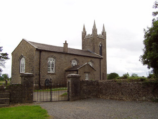 Church of the Holy Spirit (Magorban)church/chapel · 1368 yd
 CastleCastle, tower house · 1483 yd
 Bawn in Ballyvadin (magorban Par.)Bawn · 1.3 mi
 Ballyknock HillMountain / peak · 4.2 mi
 European YewEuropean Yew · 4.7 mi
 Cashel Folk MusuemMuseum · 4.8 mi
 Black mulberryBlack mulberry · 4.9 mi
 The Rock Of CashelVisitor information · 4.9 mi
 Cormac's ChapelHeritage attraction · 4.9 mi