
What is recorded here
In pasture, on a gentle E-facing slope. Roughly circular depression (diam. c. 30m) defined by low bank (overall Wth 6.9m; Wth at top 2m; int. H 1.3m; ext. H 0.35m) around S-arc and scarp (Wth 4m; D 1.3m) SW-NE. Upper margins of scarp are enclosed by rough ungrazed area of tall grasses and bushes. Interior is (D 1.3m) below present ground level and is poorly drained. A sketch plan and sections drawn in 1954 depict a monument enclosed by a bank (OS Field Memorandums). Monument (TS061-108----) is c. 90m to the SE and has a similarly depressed interior.
Compiled by: Jean Farrelly
Date of upload: 26 August 2011
The monument record does not grant public access. Check the route and ask the landowner before entering private land.
- What survives
- Recorded monument
Places near here
 Enclosure in MobarnanEnclosure · 137 yd
 Concentric enclosure in KilsallaghConcentric enclosure · 1121 yd
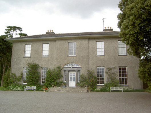 Mobarnan Housecountry house · 1138 yd
 CastleCastle, tower house · 1150 yd
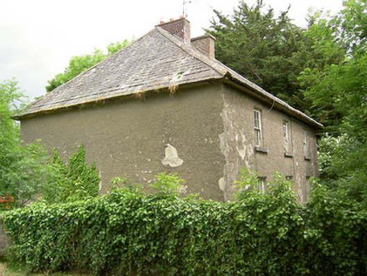 Knockbrit Constabulary Barrackbarracks · 1297 yd
 Bawn in Ballyvadin (magorban Par.)Bawn · 1741 yd
 Kilknockan HillMountain / peak · 3.9 mi
 European YewEuropean Yew · 4.4 mi
 Ballyknock HillMountain / peak · 4.5 mi
 Pedunculate OakPedunculate Oak · 5.8 mi
 Athassel PrioryHeritage attraction · 9.2 mi
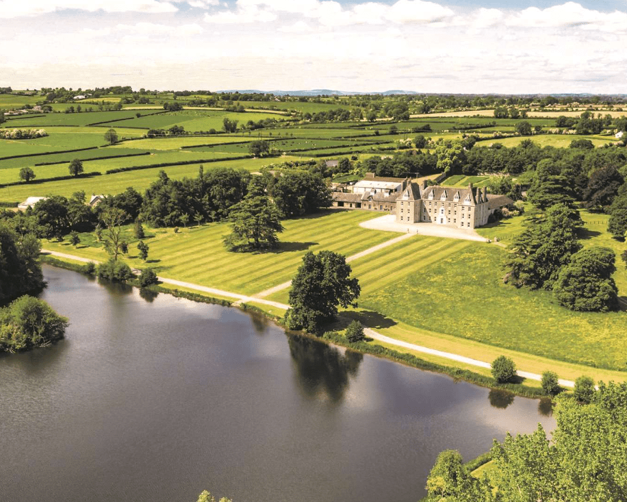 Enclosure in MagorbanEnclosure · 1185 yd
Other information
Photo: Credit not shown in the picture search · Rights wording not checked; contact us if this picture should be removed