What is recorded here
Situated on a grass and heather-covered plateau. There are faint traces of a hut-site identifiable as a grass-covered area (ext. diam. 8.3-8.5m; int. diam. 6.7-6.8m) defined by a stone spread that can be felt underfoot. It is at the centre of the curve created by the field boundary (WA006-060001-).
Compiled by: Michael Moore
Date of upload: 20 July 2010
The monument record does not grant public access. Check the route and ask the landowner before entering private land.
- What survives
- Recorded monument
Places near here
 Booley hut in Curraghduff (upperthird By., Rathgormuck Par.)Booley hut · 42 yd
 CairnCairn, unclassified · 85 yd
 Siglloges LoopWalking route · 887 yd
 Coumlara LoopWalking route · 1580 yd
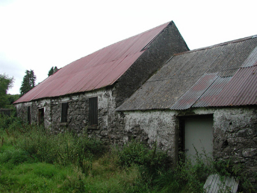 Nell's Cottagefarm house · 1624 yd
 Coumfea North TopMountain / peak · 1.2 mi
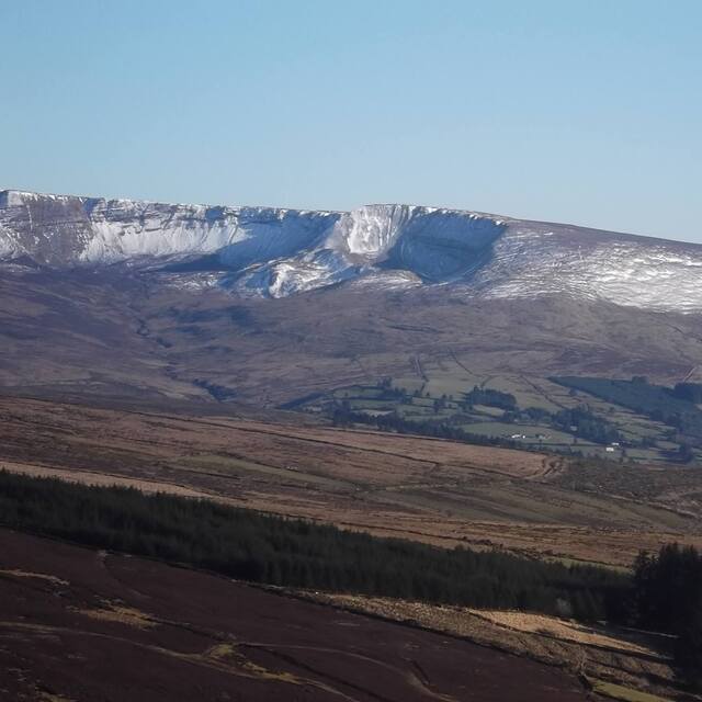 Coumfea West TopMountain / peak · 1.4 mi
 CillChurch · 1.6 mi
 Mahon FallsWaterfall · 2.4 mi
 Mahon ValleyCliff · 2.6 mi
 Curraheen TrailsVisitor information · 2.7 mi
 Knocknaree WoodForest · 2.8 mi