What is recorded here
No visible entrance remains on the west edge of the terrace, where dense hazel scrub still presses against the stone spread. The fort is a circular overgrown area twenty-four metres across, built with a thick wall and a modern gap in the north sector. It has no clear door, no named keeper and no surviving claim to pride. What is left is a rough ring on a slope, half buried and still standing.
On the W edge of a terrace in an area of dense hazel scrub. Hachured on the 1840 and 1920 OS 6-inch maps. A circular overgrown area (int. diam. 24m E-W) defined by an overgrown stone spread (Wth 3-4.3m; int. H 0.8-1m; ext. H 0.6-0.9m) with the outer facing only visible at (H 0.9m) for a short distance. The interior slopes slightly to the W and there is much natural bedrock is evident. There is a modern gap (Wth 1m) through the wall in the N sector.
Compiled by: Michael Moore and Mary Tunney
Date of upload: 17 November 2025
The monument record does not grant public access. Check the route and ask the landowner before entering private land.
- What survives
- Recorded monument
Places near here
 Enclosure in BearnafunshinEnclosure · 1209 yd
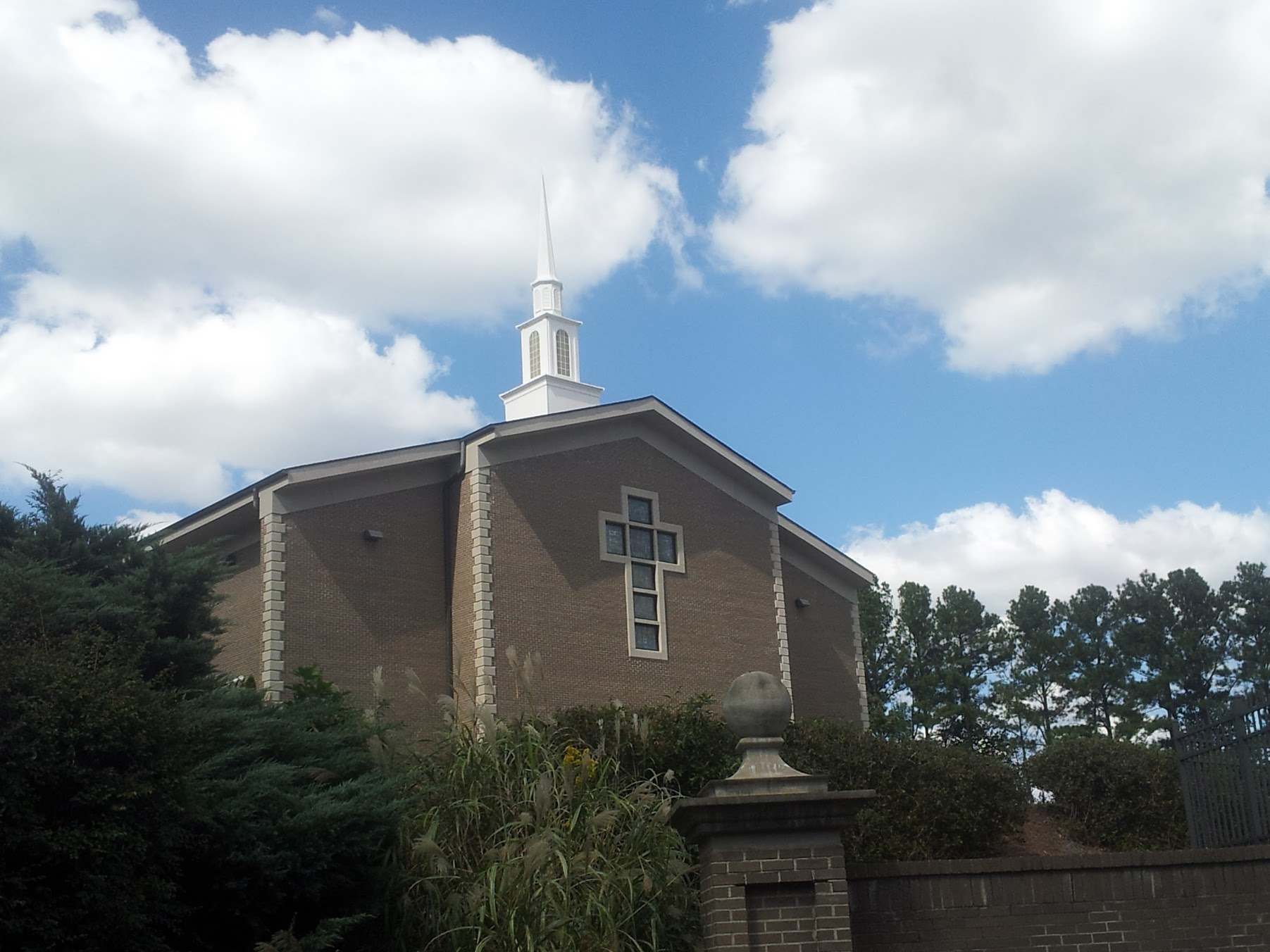 Church in KillianChurch · 1347 yd
 Enclosure in BallyoganEnclosure · 1515 yd
 Abbey (in ruins)Religious house, Augustinian canons · 1659 yd
 CastleCastle, ringwork · 1.4 mi
 Castle (in ruins)Castle, unclassified · 1.4 mi
 Dromore WoodWood · 1.6 mi
 Mulkere MemorialMemorial · 2.1 mi
 Derrymore WoodWood · 2.8 mi
 Battle of TullyodeaBattlefield · 3.7 mi
 Ennis AbbeyMuseum · 5.2 mi
 Clare MuseumMuseum · 5.4 mi