What is recorded here
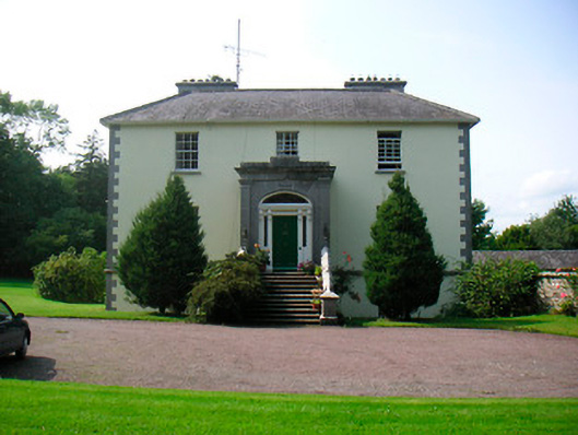
Detached three-bay two-storey over basement house, built or rebuilt c.1845, with projecting single-bay single-storey ashlar limestone Doric porch to front (southeast). Hipped natural slate roof with ashlar limestone chimneystacks and cast-iron rainwater goods. Rendered walls with flush ashlar quoins to corners. Square-headed window openings with cut stone sills and six-over-six pane timber sliding sash windows. Cast-iron security bars to basement windows. Segmental-headed doorcase to projecting porch with timber panelled door flanked by timber pilasters with console brackets and slender sidelights with spoke fanlight over. Entrance reached by flight of cut stone steps flanked by low cut stone walls with cut stone coping. Set back from road in mature landscaped grounds. Complex of contemporary two-storey outbuildings arranged around a courtyard to rear (north) of house. Cast-iron gateway (15307005) to southeast.
An elegant and well-proportioned mid nineteenth-century house. It retains its early form, character and most of its early fabric. The elaborate ashlar limestone entrance porch is a noteworthy feature which helps to elevate this attractive structure above other similarly sized houses of the period. Set in extensive grounds, the house is complemented by a range of fine ancillary structures, including a complex of outbuildings to the rear and an attractive cast-iron gateway (15307005) to the south-east, which enhance the group value of the site. This structure may be the result of a substantial remodelling of an earlier structure, Willybrook House, a more modest building which was located on the same site c. 1838 (Ordnance Survey First Ed. Six-Inch Map WH011-). A number of the outbuildings to the rear originally served this earlier structure. This remodelling or rebuilding probably dates to the same period that the new cast-iron entrances gates were added.
This does not grant access. Most recorded buildings are privately owned; view them only from public ground unless the owner allows entry.
Places near here
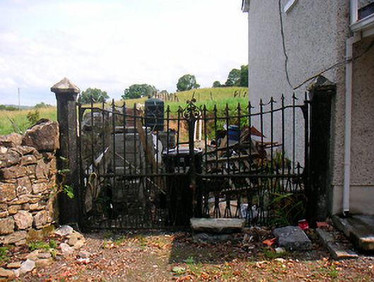 Willifield Housegates/railings/walls · 96 yd
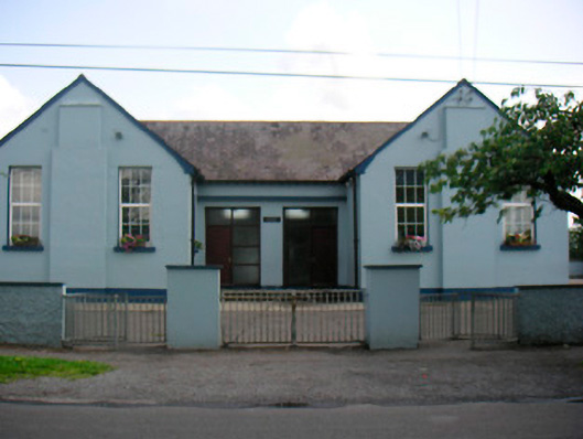 Saint Bridget's National Schoolschool · 643 yd
 Font (present location) in BallynacarrigyFont (present location) · 980 yd
 IndicatedMan-made underground passage · 1008 yd
 Site of Castle, Castle FieldCastle, unclassified · 1219 yd
 Site of CastleCastle, unclassified · 1703 yd
 Horse-chestnutHorse-chestnut · 1.2 mi
 Baronstown ForestWood · 1.2 mi
 National Famine WayWalking route · 11 mi
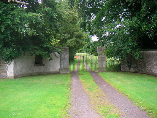 Rock Brookgate lodge · 834 yd
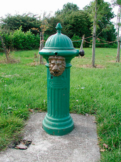 water pumpwater pump · 889 yd
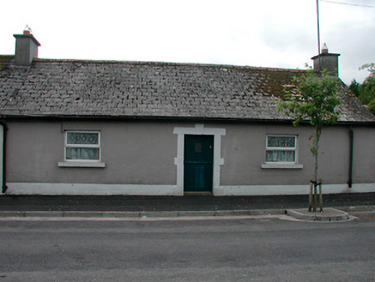 worker's houseworker's house · 918 yd
Other information
Photo: National Inventory of Architectural Heritage · Website use allowed for educational or private purposes with source credit