
What is recorded here
Indicated is a broken stone ring in County Cavan, large enough to hold a small village memory but no longer clear about whose. Its wall stands only at the north-west and south-east, while an ordinary field boundary cuts through the middle as if human ownership had forgotten the older shape. People may have lived, hidden or performed inside it before the stones scattered, yet even the entrance has disappeared. What remains is a circle interrupted by later life, inviting imagination to complete what measurement stopped recording.
Circular area (int. diam. 46m) enclosed by the remains of a drystone wall (Wth 3.5m). Site is divided into two unequal portions by a field boundary running NW-SE. Remains of outer wall at NW and SE. Original entrance not recognisable. Known locally as a 'fort'.
The above description is derived from the published 'Archaeological Inventory of County Cavan' (Dublin: Stationery Office, 1995). In certain instances the entries have been revised and updated in the light of recent research.
Date of upload/revision: 22 December 2008
The monument record does not grant public access. Check the route and ask the landowner before entering private land.
- What survives
- Recorded monument
Places near here
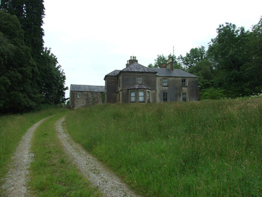 Tircahan Lodgefarm house · 1435 yd
 Tory HoleCave · 1579 yd
 Enclosure in BrackleyEnclosure · 1.1 mi
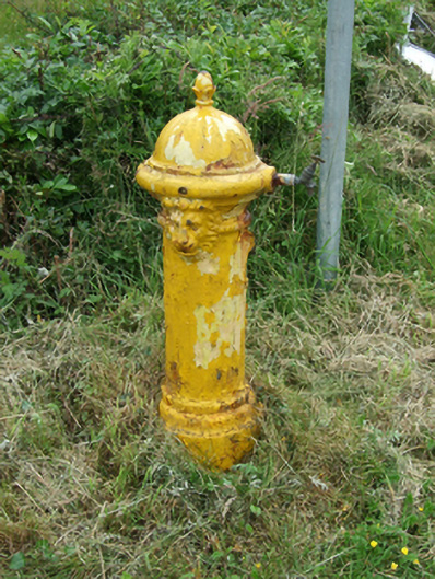 water pumpwater pump · 1.2 mi
 PolldooCave · 1.2 mi
 RowanRowan · 1.3 mi
 Grainne's GraveArchaeological place · 1.3 mi
 HawthornHawthorn · 1.4 mi
 BrackleyMountain / peak · 1.5 mi
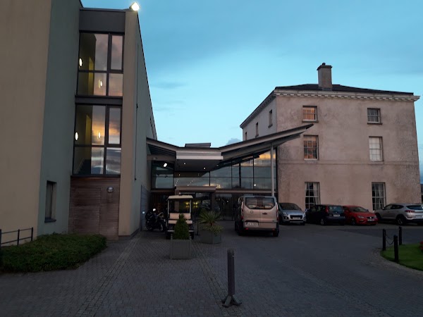 DrumbarMountain / peak · 1.6 mi
 ToberpatrickHoly well · 1.6 mi
 Out-Doors and DirtyHeritage attraction · 1.9 mi
Other information
Photo: Credit not shown in the picture search · Rights wording not checked; contact us if this picture should be removed