
What is recorded here
Crucamaohalle Fort is a vanished fairy ring on Peak Hill, reduced to a faint vegetation band and scattered angular stones. It may have been a human home before becoming a fairy trap, the kind of place where ordinary people stopped building and the stories took over. The hill keeps the shape even when the wall is gone.
On the crest of Peak Hill. Marked on OS 6-inch maps as an oval enclosure (E-W c. 45m, N-S c. 30m). Neary (1914, 117, no. 34) classified it as a 'circular earthen fort'; known as 'Peake or Cruacamoohallee Fort'. No visible surface trace survives, apart from a vegetation band and some angular stones.
The above description is derived from the published 'Archaeological Inventory of County Galway Vol. II - North Galway'. Compiled by Olive Alcock, Kathy de hÓra and Paul Gosling (Dublin: Stationery Office, 1999).
Date of upload: 05 August 2010
The monument record does not grant public access. Check the route and ask the landowner before entering private land.
- What survives
- Recorded monument
Places near here
 Man-made underground passage in BallintavaMan-made underground passage · 441 yd
 Bellwell FortFairy fort / ringfort · 533 yd
 Penitential station in KilluneyPenitential station · 1.5 mi
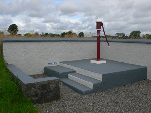 water pumpwater pump · 1.5 mi
 Castle in ruinsCastle, unclassified · 1.9 mi
 Slieve DartMountain / peak · 2.4 mi
 Dunmore CastleCastle · 2.6 mi
 European ashEuropean ash · 10 mi
 Mass RockNamed rock · 12 mi
 Ballinlass Eviction MemorialMemorial · 13 mi
 Enclosure in BallintavaEnclosure · 1055 yd
 Lisnaseragh-angallFairy fort / earthen ringfort · 1097 yd
Other information
Photo: Credit not shown in the picture search · Rights wording not checked; contact us if this picture should be removed