What is recorded here
Crossursa holds a thin limestone slab, one point four metres tall and aligned northwest to southeast. It stands in low grassland where southern floods still come, suggesting water and stone shared the same ancient border. The rectangle cuts the earth like a knife rather than a mound, inviting people to wonder whether they marked a boundary, a death or a warning about the land itself.
In low-lying grassland, the area to S is liable to flooding. A thin limestone slab (H 1.4m), rectangular in plan, aligned NW-SE.
The above description is derived from the published 'Archaeological Inventory of County Galway Vol. II - North Galway'. Compiled by Olive Alcock, Kathy de hÓra and Paul Gosling (Dublin: Stationery Office, 1999).
Date of upload: 05 August 2010
Likely dating to the Late Neolithic or Bronze Age, this standing stone may have functioned as a territorial marker or had ceremonial significance. Its alignment and positioning could relate to local landscape features or seasonal flooding patterns, though specific folklore or use remains unrecorded.
The monument record does not grant public access. Check the route and ask the landowner before entering private land.
- What survives
- Recorded monument
Places near here
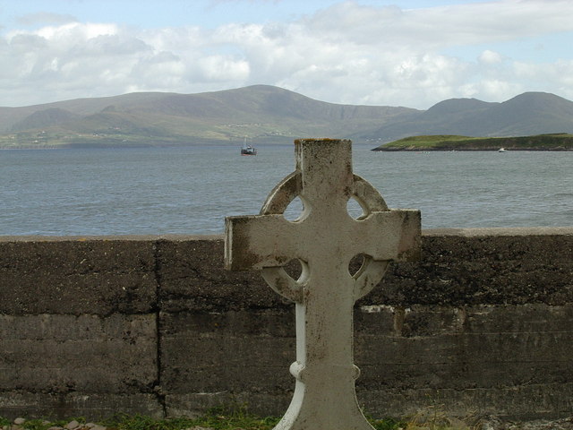 Cross in CrossursaCross · 395 yd
 Mass-rock in BallycolganMass-rock · 482 yd
 Donaghpatrick Church in ruinsChurch · 1584 yd
 barnbarn · 1632 yd
 Headford CastleCastle, unclassified · 1.7 mi
 Cloghanower Castle in ruinsCastle, tower house · 2.0 mi
 Kilcoona Round TowerHeritage attraction · 2.3 mi
 Ross Errilly FriaryHeritage attraction · 3.1 mi
 KnockmaaWood · 3.9 mi
 Ballinduff BayBay · 4.3 mi
 Pesooge PlantationForest · 4.3 mi
 Walsh's IslandIslet · 4.4 mi