What is recorded here
A slab .87m × 0.25m × 0.1m at present aligned E-W. On the N face is a cross with a circle to the top and two-thirds of a circle to the base. The cross-bar is thicker than the shaft and there is a small circular depression at the junction. The cross-slab originally stood nearby(DG073-010-), to the SW. The area consists of pasture with rock outcrop. Stone cross however not in original position originally in the south west resting under bent sycamore tree and probably the face of the cross was to the west. Possibility that well existed in close vicinity but no local knowledge.
The above description was published in the 'Archaeological Survey of County Donegal. A description of the field antiquities of the County from the Mesolithic Period to the 17th century.' Compiled by: Brian Lacey with Eamon Cody, Claire Cotter, Judy Cuppage, Noel Dunne, Vincent Hurley, Celie O'Rahilly, Paul Walsh and Seán Ó Nualláin (Lifford: Donegal County Council, 1983).
Date of upload: 22 September 2008
Likely dating to the early medieval period, this cross-slab may have served a Christian commemorative or waymarking function. The circular motifs and stylized cross suggest a symbolic or ritual significance, possibly linked to local pilgrimage routes or territorial boundaries.
The monument record does not grant public access. Check the route and ask the landowner before entering private land.
- What survives
- Recorded monument
Places near here
 Liskeeraghan Stone RingfortFairy fort / stone ringfort · 50 yd
 St. Connells CrossCross · 1064 yd
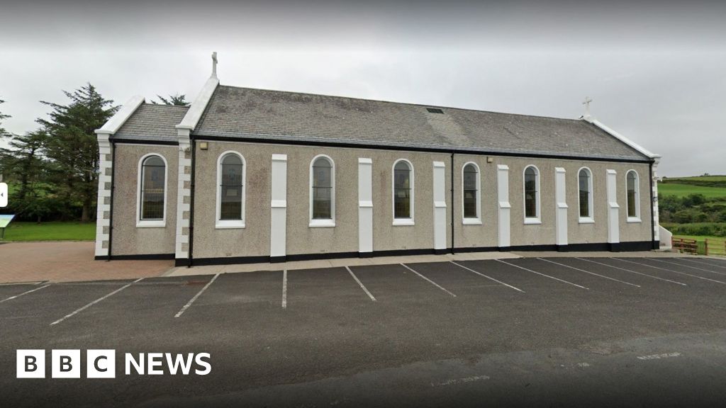 Church in KilcashelChurch · 1182 yd
 Carrickalahagh HeadlandPublicly named cliff or headland · 1622 yd
 Tramore StrandBeach / strand · 1.4 mi
 Maghera StrandBeach / strand · 1.6 mi
 IllancreeveIslet · 1.7 mi
 outbuildingoutbuilding · 1.9 mi
 Maghera CavesSea caves · 2.0 mi
 Assaranca Waterfallwaterfall · 2.0 mi
 Maghera WaterfallWaterfall · 2.1 mi
 CastleRuins · 2.2 mi