What is recorded here
Cross-slab in Churchland stands inside a fifth-century monastery founded by St. Kieran the elder, where a rough sandstone slab bears a five-line cross with circular centre and semi-circular extremities. The slab lies among graveyard stones, a ruined church, tower base and earthworks, suggesting a place where prayer, memory and daily life still touch the ground. Its exact position has been lost, but the cross remains visible in description, waiting to be recognised again.
Monastery founded by St. Kieran the elder in the fifth century (ITA Survey 1943), consisting of an irregular shaped graveyard (OF039-003007-) with poorly preserved church (OF039-003005-) with gun turret at SE angle, base of round tower (OF039-003003-) at NW angle, base of high cross (OF039-003002-), cross-slabs, architectural fragments, 19th-century C of I church and medieval earthworks of a deserted medieval settlement enclosing graveyard from S through W to N and low motte (OF039-003----) to SW, all of which is contained within the impressive remains of a bivallate ecclesiastical enclosure (OF039-003001-). Early Christian cross-slab described by Crawford as 'a third early slab (not described)' (Crawford 1913, 265). In 1916 Crawford described this slab as 'a rough sandstone slab on which is incised a five-line cross with circular centre and semi-circular extremities. The centre and extremities contain fret patterns of simple form' (Crawford 1916, 166). The location of this slab has not been identified.
Compiled by: Caimin O'Brien.
Date of upload: 23 May 2011
Probably dating to the early medieval period, the cross-slab may have served a Christian commemorative or liturgical function, associated with the monastery founded by St. Kieran. Such slabs often carried symbolic or devotional carvings linked to early Irish monastic tradition.
The monument record does not grant public access. Check the route and ask the landowner before entering private land.
- What survives
- Recorded monument
Places near here
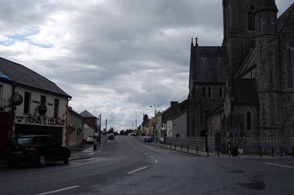 Church (Site of)Church · 61 yd
 Ramparts, FosseEcclesiastical enclosure · 75 yd
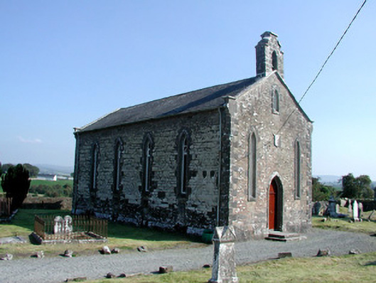 Saint Kieran's Church (Seirkieran)church/chapel · 93 yd
 HawthornHawthorn · 98 yd
 Seir Kierans Abbey (in Ruins), Church (in Ruins)Religious house, Augustinian canons · 103 yd
 RampartsCastle, motte · 244 yd
 Saint Kieran's WellSpring · 685 yd
 Ballymooney Castle in RuinsHouse, fortified house · 1312 yd
 Derrykeel WoodWood · 1.4 mi
 Drummin HillMountain / peak · 2.3 mi
 River WalkWalking route · 4.9 mi
 Birr Heritage CentreMuseum · 5.1 mi