
What is recorded here
Indicated is a circular cashel on a Clare ridge where thin slabs still stand double-walled against the sky. Cattle may have opened its gaps, yet the stones keep their shape inside old field lines. People may have lived beside its hut foundations, watching weather move across the pasture while the fort waited for them to return.
On a raised area of rough pasture, within a multiperiod field system (CL005-115001-) and with views to all sides. Indicated on the 1916 ed. of the OS 6-inch map. Listed as ‘Enclosure’ in the RMP (1996). A roughly circular cashel (22.4m E-W; 22m N-S) defined by a wall (av. Wth 2.5m; H 0.4-0.8m) of horizontally laid thin slabs with inner and outer facing. A section of double wall is present from SSE-SSW. Gaps at E (Wth 1m) and W (Wth 0.6m) may have been created by cattle. Foundations of hut sites abut the interior face at NW (CL005-115018-) and NE (CL005-115019-).
Compiled by: Mary Tunney and Ros Ó Maoldúin
Date of upload: 27 March 2023
The monument record does not grant public access. Check the route and ask the landowner before entering private land.
- What survives
- Recorded monument
Places near here
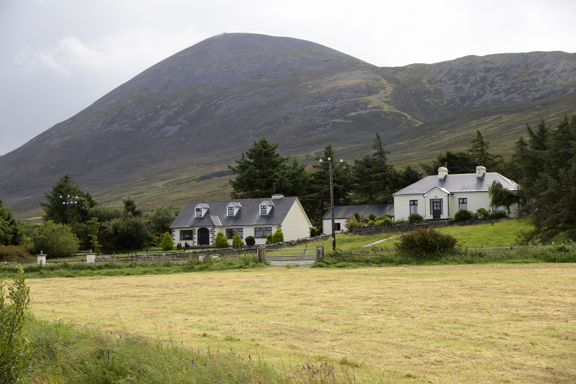 IndicatedFairy fort / stone ringfort · 167 yd
 Enclosure in DoonyvardanEnclosure · 749 yd
 Cahermacnaghten CashelHeritage attraction · 1748 yd
 Gleansleade Castle (in ruins)Castle, tower house · 1.3 mi
 Gleninshing tombHeritage attraction · 1.4 mi
 Cullaun 5 (C5)Cave · 1.4 mi
 Cullaun 5 (C5b)Cave · 1.4 mi
 Gregans Castlehouse · 1.5 mi
 Gregan CastleCastle · 1.6 mi
 Poulnabrone - Burren GeositeVisitor information · 1.8 mi
 The Portal TombVisitor information · 1.8 mi
 Caherconnell Stone FortRuins · 2.0 mi
Other information
Photo: Credit not shown in the picture search · Rights wording not checked; contact us if this picture should be removed