What is recorded here
Located on a rise in the middle of a plateau bounded by the Goulaun River on one side and by the steep rise of Letterkeen Hill on the other, in an area of mountainous and boggy terrain.
This possible cremation pit was excavated (E000015) in 1950 by Ó' Ríordáin and Mac Dermott (1950-1, 95-96). It consisted of a semi-circular trench associated with several smaller pits over which stones had been built. The pits were filled with ashes, charcoal and large quantities of minute fragments of cremated bone representing at least one adult human, and an animal, possibly sheep. The excavators interpreted it as a possible crematorium associated with the use of this location as a Bronze Age cemetery. A possible burial cairn (MA046-004001-), three cists (MA046-004002-; MA046-004003-; MA046-004004-) and two pit burial (MA046-004005-; MA046-004006-) were found in close proximity. At a later period, all these features were overlain by a rath (MA046-004007-).
Compiled by: Jane O’Shaughnessy
Date of upload: 9 April 2019
The monument record does not grant public access. Check the route and ask the landowner before entering private land.
- What survives
- Recorded monument
Places near here
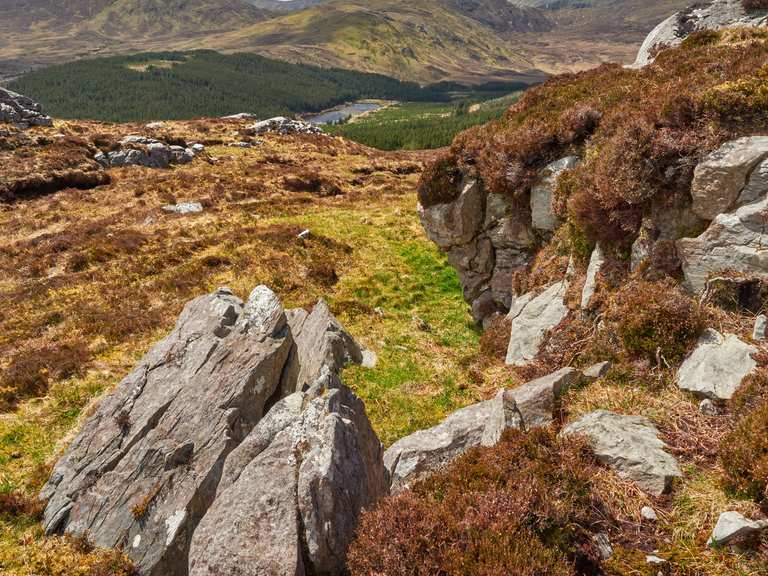 IndicatedFairy fort / earthen ringfort · 15 yd
 Letterkeen LoopWalking route · 1.8 mi
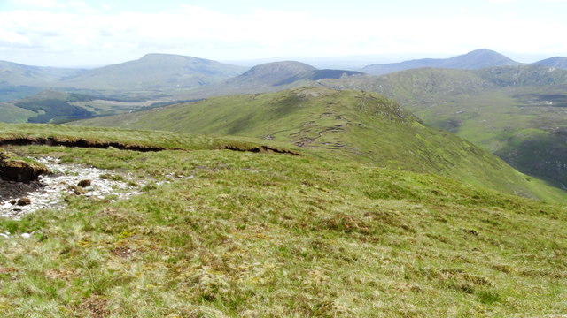 Nephin Beg South Top (Cruckgarru)Mountain / peak · 2.9 mi
 BirreencorraghMountain / peak · 3.1 mi
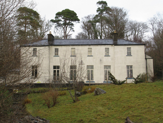 Treanlaur Lodgehunting/fishing lodge · 3.9 mi
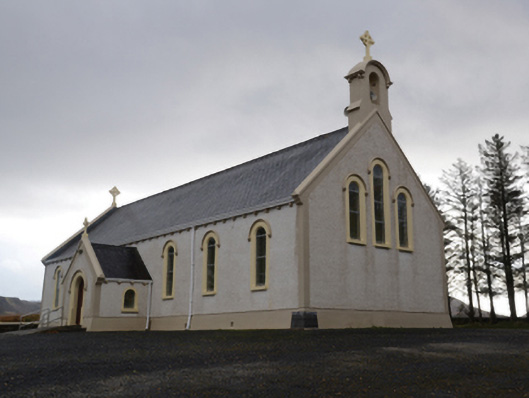 Catholic Church of the Holy Soulschurch/chapel · 4.3 mi
 RaweedoonminnonFairy fort / earthen ringfort · 5.7 mi
 Wild Nephin National ParkNature reserve · 5.7 mi
 Saints IslandIslet · 6.6 mi
 IslandmoreIslet · 7.8 mi
 Killeen CemeteryVisitor information · 7.8 mi
 Rockfleet CastleCastle · 8.2 mi