What is recorded here
In undulating terrain at base of NE facing ridge, in wet, lush meadow. Fulacht fia revealed during gas pipeline excavation in 1986, excavation ref. no. BW/18/5 (Gowen 1988, 171-173, 180). No visible trace of monument above gound.
Compiled by: Jean Farrelly
Date of upload: 26 August 2011
This remains an important historical record, but the official description says the monument is no longer visible or has been destroyed. The monument record does not grant public access. Check the route and ask the landowner before entering private land.
- What survives
- No visible remains or recorded as destroyed
Places near here
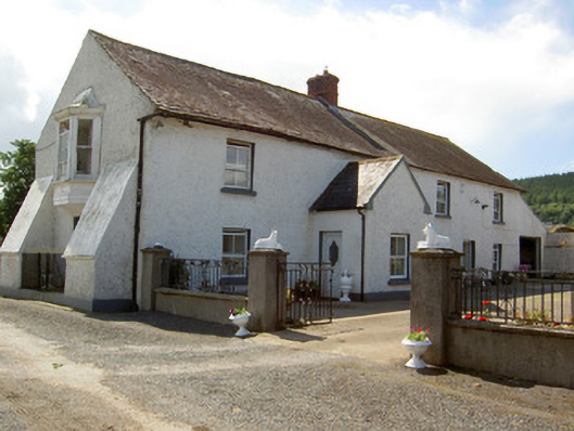 Tinhalla Househouse · 732 yd
 CarrigfenoaghMountain / peak · 1032 yd
 IndicatedFairy fort / earthen ringfort · 1224 yd
 Font in TinhallaFont · 1304 yd
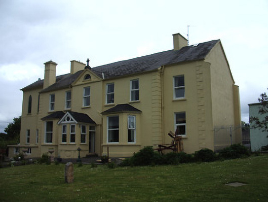 Mount Saint Nicholas Monasteryhouse · 1441 yd
 CastleCastle, Anglo-Norman masonry castle · 1606 yd
 Ormonde CastleHeritage attraction · 1609 yd
 Tiberaghney CastleCastle, tower house · 1.4 mi
 Tower HillMountain / peak · 2.1 mi
 Ponsonby Memorial TowerMonument · 2.2 mi
 Tower Hill WoodWood · 2.6 mi
 Fiddown IslandIslet · 3.1 mi