What is recorded here
Creeveoughter holds a lost stone camp on a boggy Donegal slope, where a hut-like bank faces a wide southern gap and paired lines mark the earth. Flint tools and a bronze spearhead suggest people lived here during the Neolithic or Bronze Age, shaping the wet land before ploughing and reclamation began changing it. The stones still stand small and patient, waiting for human feet to return across the grass.
A series of features spread over a boggy S-facing hillslope. The most northerly (1 on location plan) consists of a hut-like feature 5m E-W × 4m N-S. It is defined by an earthen bank except for a 4m wide gap to the S. Three stones set on edge define this side. On the N of the site is an extensive low spread of grass and turf-covered stones. This extends to the W to join the N end of a stone field wall which runs to the SW. 3m E of the 'hut' are three closely set lines of small stones running roughly NW-SE over a distance of 7m. There is an indication of a possible fourth line on the E. The S end is limited by recent ploughing and land reclamation. The stones do not exceed .4m in height. A number of flints including several worked pieces were picked up to the S of these stone lines and 'hut'. About 60m SE of these (3 on location plan) a small, circular, stone-outlined, hut-like feature was located but has since been removed. A few flint flakes were also found here. About 150m SW of (1) above, is an oval setting of low stones (2 on location plan). This measures 9.5m N-S × 8m E-W. The perimeter stones measure c. 0.4m in height with those in the interior c. 0.2m high. The stones in the interior seem, for the most part, to be arranged in a series of paired parallel lines. The sites are located on boggy land currently being reclaimed. This, together with the finding of flint pieces would seem to suggest a Neolithic or Bronze Age date for the sites. A bronze spearhead was found just across the road c. 1952 (NMI).
Swan (1955, 49) referred to 'a double row of small slabs suggestive of a gallery grave' in Creeve, i.e. Creeveoughter, townland. This is not a gallery grave but a series of closely spaced lines of stones, part of a prehistoric complex (Lacy 1983).
The above description was published in the 'Survey of the Megalithic Tombs of Ireland. Volume VI, County Donegal.' Compiled by: Eamon Cody (Dublin: Stationery Office, 2002).
Date of upload: 22 September 2008
The monument record does not grant public access. Check the route and ask the landowner before entering private land.
- What survives
- Recorded monument
Places near here
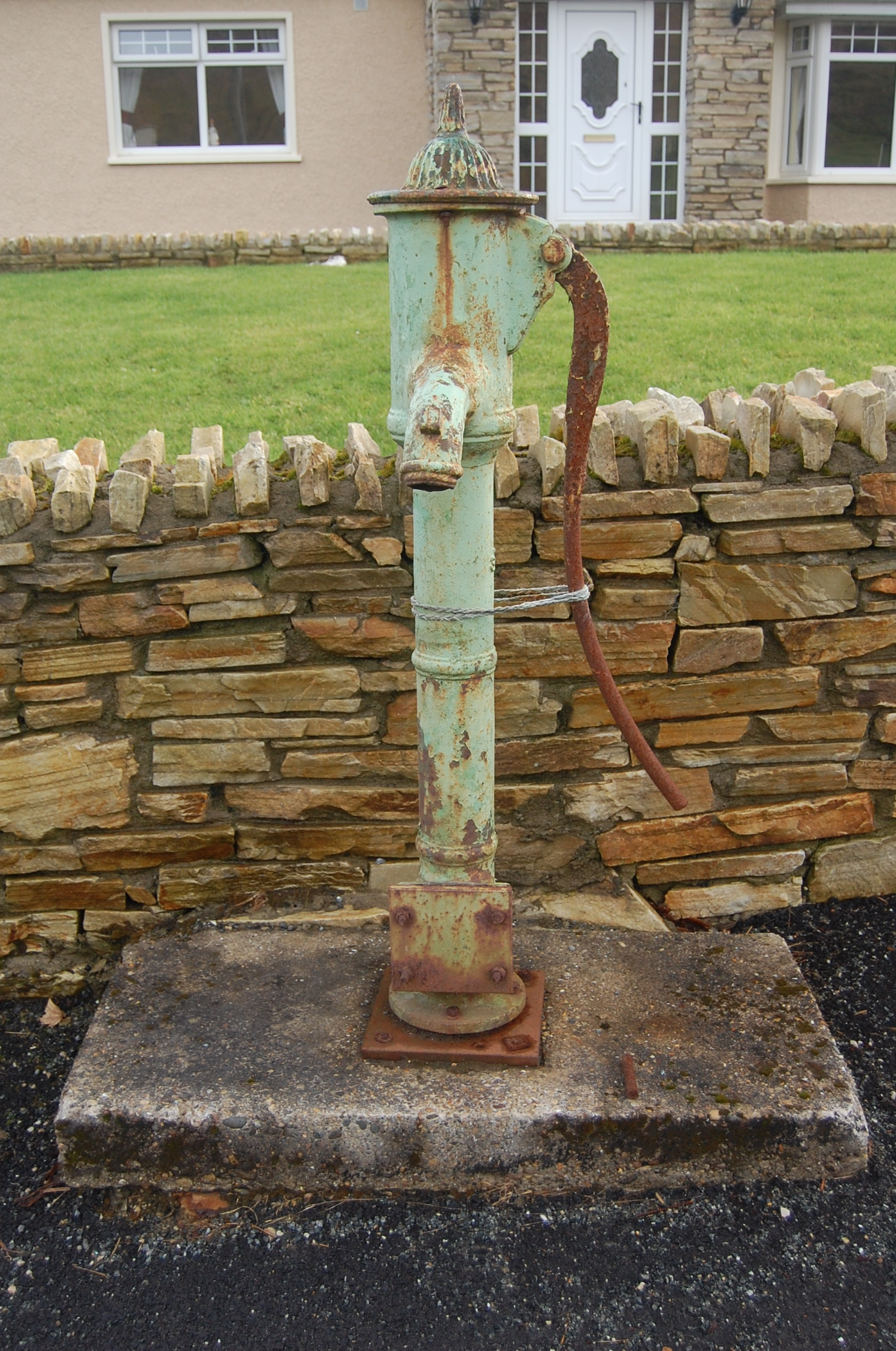 water pumpwater pump · 1666 yd
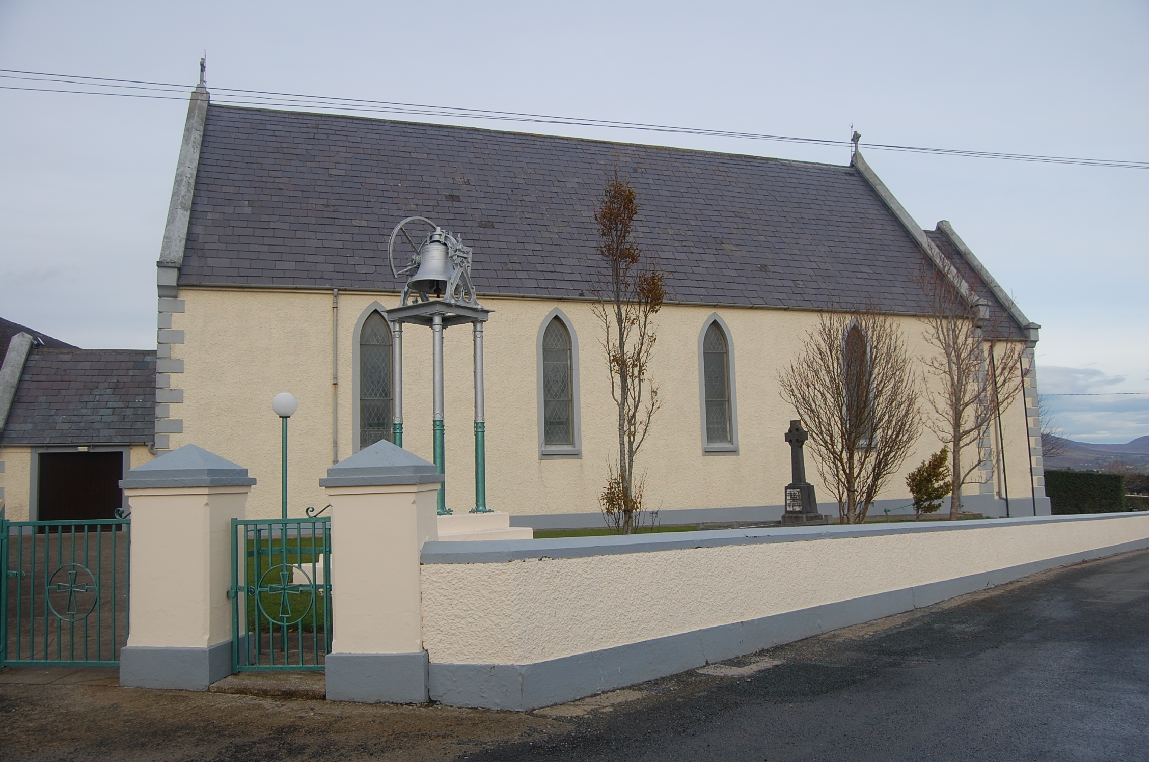 Saint Mary's Catholic Churchchurch/chapel · 1.1 mi
 Drumhallagh Upper Court TombCourt tomb · 1.3 mi
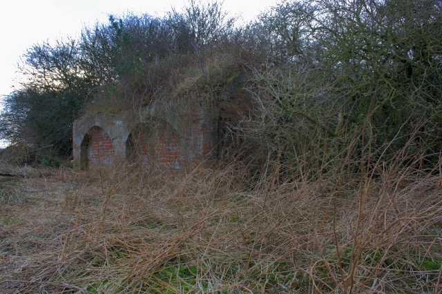 Former Lurganboy EnclosureEnclosure · 1.5 mi
 Croaghan HillMountain / peak · 2.5 mi
 Ballymastocker StrandViewpoint · 2.9 mi
 Wild Atlantic Way:Ballymastocker StrandVisitor information · 2.9 mi
 PortsalonOfficial bathing water · 3.4 mi
 Rough IslandIslet · 3.8 mi
 Cranberry IslandIslet · 3.8 mi
 Rathmullan Wood Nature ReserveNature reserve · 3.9 mi
 Wych ElmWych Elm · 3.9 mi