
What is recorded here
The Island is a small crannog in County Monaghan, Ireland, lying in a narrow valley beside a bending stream. It is a grass-covered kidney-shaped mound about 34m long and 0.35m high, marked in a boggy area called The Curragh. Stone, ash and animal bones are visible there, suggesting people lived, cooked or buried things on the mound when the land around it was wetter.
Located on the floor of a narrow W-E valley, on the N side of and in the S-bending curve of a small W-E stream or drain. It is depicted as a hachured feature described as the Island in italic script in a boggy area (diam. c. 180m) described as ‘The Curragh’ on the 1907 edition of the OS 6-inch map. This is a grass-covered kidney-shaped mound (diam. 34m N-S; H 0.35m) with stone, ash and animal bones evident. (Smyth 1954, 7)
The above description is derived from the published 'Archaeological Inventory of County Monaghan' (Dublin: Stationery Office, 1986). In certain instances the entries have been revised and updated in the light of recent research.
Revised by: Michael Moore
Date of revision: 29 January 2018
The monument record does not grant public access. Check the route and ask the landowner before entering private land.
- What survives
- Recorded monument
Places near here
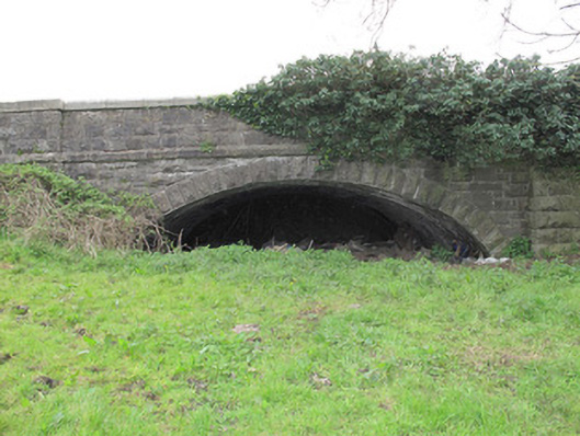 bridgebridge · 985 yd
 Stonebridge Orange HallOrange Hall · 1177 yd
 IndicatedFairy fort / earthen ringfort · 1448 yd
 Saint John's WellSpring · 1.3 mi
 KillycoonaghWood · 1.3 mi
 Ancient Stone (Site of)Mass-rock · 1.3 mi
 Jaundice WellSpring · 1.5 mi
 Common LimeCommon Lime · 1.5 mi
 Bawn in CrossmoyleBawn · 2.1 mi
 Abbey RuinsHeritage attraction · 2.2 mi
 The Cassandra Hand CentreMuseum · 2.2 mi
 CastleCastle, motte and bailey · 2.3 mi
Other information
Photo: Credit not shown in the picture search · Rights wording not checked; contact us if this picture should be removed