What is recorded here
Half-buried in the grass, the ringfort in Creenkill More still holds its shape on the south slope, a shallow terrace with a ghost of a bank that once kept out the rain or the neighbours. The road cut through its eastern edge long ago, and the valley views remain, wide and empty, as if the fort was built to watch the land rather than be seen. People may have lived there, argued there, or forgotten it so completely that the grass returned the boundary to soil. What is left is not grand, but it is honest: a small circle of human intention, half-erased, still facing the valley.
On S slopes of small E-W valley in rolling grassland. There good views E-W along the valley and across to N, it is overlooked by higher land to the S. Monument depicted on the 1st (1839) ed. 6-inch OS map as a small square enclosure (c. 24m sq.) with a road running NNE-SSW along the SE side, however, on the later 1900 revision it appears more circular in plan (diam. c. 29m), with the E-SE sector being truncated by the same roadway. When visited in 1986 there was little visible above ground and the interior was heavily overgrown. The enclosure appeared to form a terrace cut into the slope of the hillside with slight traces of an enclosing bank (int. H c. 0.5m; ext. H 0.1-0.4m). The monument is not visible on Digitalglobe satellite imagery (viewed 8 January 2018).
Compiled by: Jean Farrelly
Date of upload: 8 January 2018
The monument record does not grant public access. Check the route and ask the landowner before entering private land.
- What survives
- Recorded monument
Places near here
 Enclosure in Creenkill MoreEnclosure · 347 yd
 Holy well in GorteennamuckHoly well · 467 yd
 Mill (in ruins)Water mill, unclassified · 589 yd
 CastleCastle, unclassified · 1585 yd
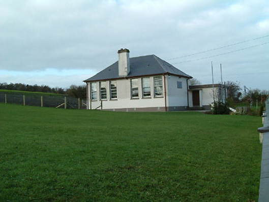 Creenkill National Schoolschool · 1.0 mi
 Street fieldArchaeological place · 1.3 mi
 Glashare CastleCastle, tower house · 1.5 mi
 Clomantagh HillMountain / peak · 2.1 mi
 DelaneyMemorial · 2.8 mi
 John HelyMemorial · 2.8 mi
 The CopseWood · 4.8 mi
 Anker's IslandIsland · 6.6 mi