
What is recorded here
On the S side of an E-W valley, in rolling grassland. Monument depicted on the 1st (1839) ed. OS 6-inch map as an oval enclosure (dims. c. 30m NE-SW; c. 23m NW-SE) with a quarry extending northwestward from the NW quadrant. Two field boundaries, both running E-W, extend eastward from the N and S quadrants respectively. The monument appears to have been levelled by 1900 as it is not indicated on that ed. of the OS 6-inch map. A circular depression in the field indicates the location of the enclosure.
Compiled by: Jean Farrelly
Date of upload: 8 January 2018
The monument record does not grant public access. Check the route and ask the landowner before entering private land.
- What survives
- Recorded monument
Places near here
 Holy well in GorteennamuckHoly well · 727 yd
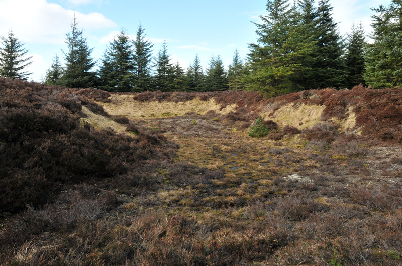 Gravel PitEnclosure, large enclosure · 743 yd
 Mill (in ruins)Water mill, unclassified · 894 yd
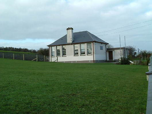 Creenkill National Schoolschool · 1453 yd
 Street fieldArchaeological place · 1.5 mi
 Glashare CastleCastle, tower house · 1.7 mi
 CastleCastle, tower house · 1.7 mi
 Clomantagh HillMountain / peak · 2.1 mi
 DelaneyMemorial · 2.9 mi
 John HelyMemorial · 2.9 mi
 The CopseWood · 4.6 mi
 Anker's IslandIsland · 6.5 mi
Other information
Photo: Credit not shown in the picture search · Rights wording not checked; contact us if this picture should be removed