What is recorded here
In the water, just outside the S shore of Sroove townland in the W side of Lough Gara. A low-cairn crannog (12m N-S; 10m E-W; H 0.9-1.1m above the lake-bed), surrounded by rushes, consisting mainly of large angular flagstones (diam. c. 0.5m) with some medium-sized boulders on the surface. These stones are loosely set into the white marl of the crannog body and the surface is quite uneven. The edge is clearly defined in material. At least 12 eroded vertical posts surround the crannog. There is an intermittent causeway of flagstones resting on lake-marl leading in towards the shoreline. The water depth around the crannog is 0.7m and only 0.4m of the crannog is above water. The crannog has been radiocarbon-dated to the early medieval period (Fredengren 2002, KILC 020). (Cross 1953, fig. 1).
The above description is derived from the published 'Archaeological Inventory of County Sligo' compiled by Ursula Egan, Elizabeth Byrne, Mary Sleeman with Sheila Ronan and Connie Murphy (Dublin Stationery Office, 2005).
Date of upload: 18 January 2008
The monument record does not grant public access. Check the route and ask the landowner before entering private land.
- What survives
- Recorded monument
Places near here
 Enclosure in TawnymucklaghEnclosure · 1391 yd
 IndicatedFairy fort / stone ringfort · 1625 yd
 Church in Inchmore IslandChurch · 1.0 mi
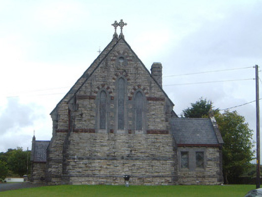 Saint Aidan's Catholic Churchchurch/chapel · 1.1 mi
 Crow IslandIslet · 1.2 mi
 Castle PointHeadland · 1.3 mi
 Castle (in Ruins)Castle, unclassified · 1.4 mi
 Inch IslandIslet · 1.5 mi
 Rose PointHeadland · 1.5 mi
 Moygara CastleCastle · 1.9 mi
 Square WoodForest · 4.7 mi
 Curlew MountainsMountain / peak · 4.8 mi