What is recorded here
In exposed elevated rocky pasture within an extensive multiperiod field system (CL005-160001-). A fulacht fia comprising two parallel grass-covered hummocks (overall dims. 18m N-S; 13m E-W) with an intervening trench aligned NE-SW. A wall extends N-S over the W part of the monument. The fulacht is clearly visible on OSi MapGenie orthophotography (2013-2018). A second fulacht fia is located c. 60m to the WNW.
Compiled by: Mary Tunney and Eve Campbell
Date of upload: 30 September 2025
The monument record does not grant public access. Check the route and ask the landowner before entering private land.
- What survives
- Recorded monument
Places near here
 Enclosure in PoulgormEnclosure · 269 yd
 CahercashlaunPromontory fort, inland · 324 yd
 Gleninshing tombHeritage attraction · 1110 yd
 PoulnabroneMemorial · 1165 yd
 Gleansleade Castle (in ruins)Castle, tower house · 1240 yd
 Poulnabrone DolmenHeritage attraction · 1355 yd
 The Portal TombVisitor information · 1411 yd
 Poulnabrone - Burren GeositeVisitor information · 1556 yd
 Caherconnell Stone FortRuins · 1.3 mi
 Cave of the Wild HorsesCave · 1.8 mi
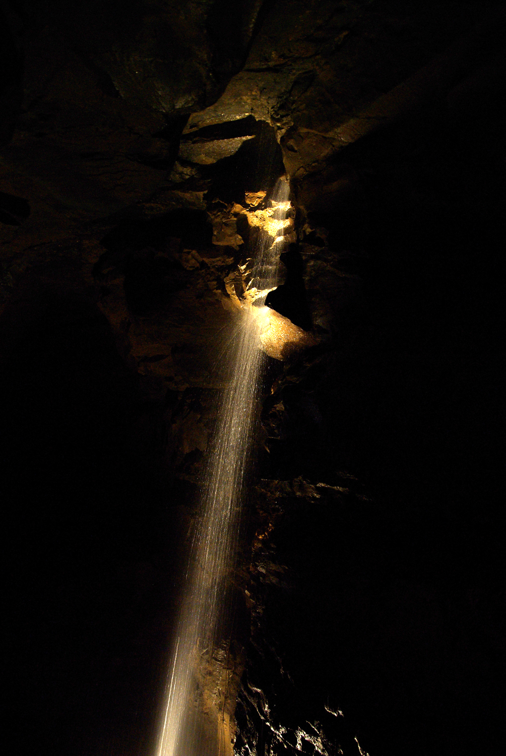 Aillwee CaveCave · 2.1 mi
 Aillwee Cave Visitor Centreheritage centre/interpretative centre · 2.1 mi