What is recorded here
Counterfort rath, lish in Demesne, Fermanagh. A ring of earth and stone, built to hold back water, shadow or claim. The name resists explanation, which suits it. What it guarded is no longer written, but the shape remains, doing its work in silence.
The official Northern Ireland record identifies this as COUNTERSCARP RATH: LISSHE. Recorded period: E.CHRIST.. The official map point was placed at the centre of the recorded archaeological site from the source map reference.
The monument record does not grant public access. Check the route and ask the landowner before entering private land.
- What survives
- Recorded monument
Places near here
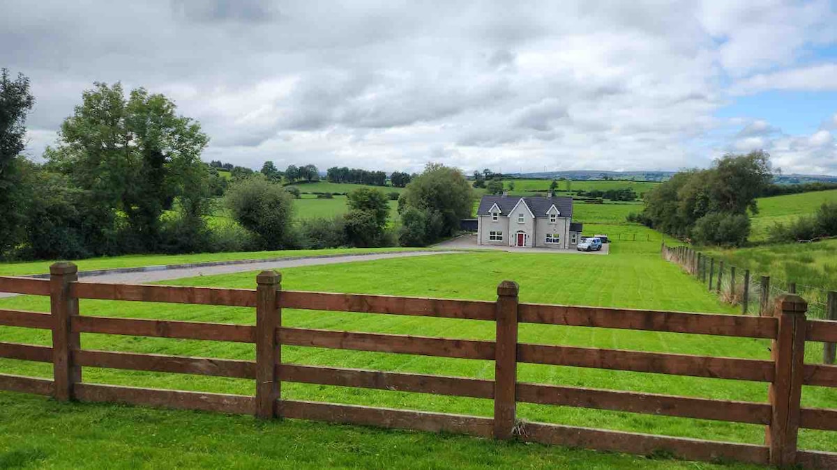 OVAL ENCLOSURE in PubbleOVAL ENCLOSURE · 1.5 mi
 Pubble ForestForest · 1.8 mi
 ENCLOSURE in TattinfreeENCLOSURE · 2.6 mi
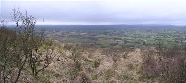 Brougher MountainMountain / peak · 3.2 mi
 Doocarn WoodWood · 3.2 mi
 Topped MountainMountain / peak · 3.2 mi
 Lady Brooke Memorial HallHall · 4.6 mi
 Railway Station PlatformRailway Station Structures · 4.6 mi
 The Station House, BrookeboroughHeritage attraction · 4.6 mi
 "Fivemiletown Deli" G8 Virtual ShopHeritage attraction · 5.2 mi
 MULTIPERIOD CHURCH & GRAVEYARD in MagheracrossMULTIPERIOD CHURCH & GRAVEYARD · 6.0 mi
 C17th DEFENDED HOUSE & BAWN: TRILLICK CASTLE in Castlemervyn DemesneC17th DEFENDED HOUSE & BAWN: TRILLICK CASTLE · 6.2 mi