What is recorded here
Situated on a gently rolling landscape. Two monoliths placed 0.9m apart form a line oriented N-S. The N stone with a rectangular cross-section (dims 0.6m x 0.5m; H 1.15m) has a possible ogham inscription on one angle close to the flat top. It has been read as: IARNI (Macalister 1945, vol. 1, 48-9). The S stone has a rectangular cross-section (dims 0.68m x 0.44m; H 1.03m) with a rounded top. Both stones are of a conglomerate stone with quartz. The area around them was excavated by Macalister with no result (1921, 77).
The above description is derived from the published 'Archaeological Inventory of County Wexford' (Dublin: Stationery Office, 1996). In certain instances the entries have been revised and updated in the light of recent research.
Compiled by: Michael Moore
Date of upload/revision: 07 January 2014
Dated to the 5th–7th century AD, the ogham inscription suggests this stone may mark a boundary or commemorate an individual, reflecting early Celtic language and land use. Local folklore sometimes associates such stones with ancient druids or protective charms against harm.
The monument record does not grant public access. Check the route and ask the landowner before entering private land.
- What survives
- Recorded monument
Places near here
 IndicatedField system · 472 yd
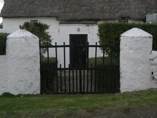 farm housefarm house · 559 yd
 Ballymacane CastleCastle, unclassified · 958 yd
 Enclosure in Coddstown LittleEnclosure · 1044 yd
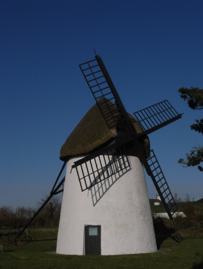 mill (wind)mill (wind) · 1163 yd
 CastleCastle, tower house · 1.0 mi
 Wilson's MoorWood · 1.1 mi
 The HamBay · 1.4 mi
 Sigginstown Island (Great)Island · 1.6 mi
 Sigginstown Island (Little)Islet · 1.8 mi
 The Bull RockForest · 2.4 mi
 1798 Memorial PlaqueMemorial · 2.6 mi