What is recorded here
The following description is derived from both the published 'Archaeological Inventory of County Louth' (Dublin: Stationery Office, 1986) and the 'Archaeological Survey of County Louth' (Dublin: Stationery Office, 1991). In certain instances the entries have been revised and updated in the light of recent research.
Date of upload/revision: 17 July 2007
Situated in a ringfort (LH006-045001-) close to shore of Cortial Lough. Now inaccessible. (CLAJ 1961, 5-10)
The monument record does not grant public access. Check the route and ask the landowner before entering private land.
- What survives
- Recorded monument
Places near here
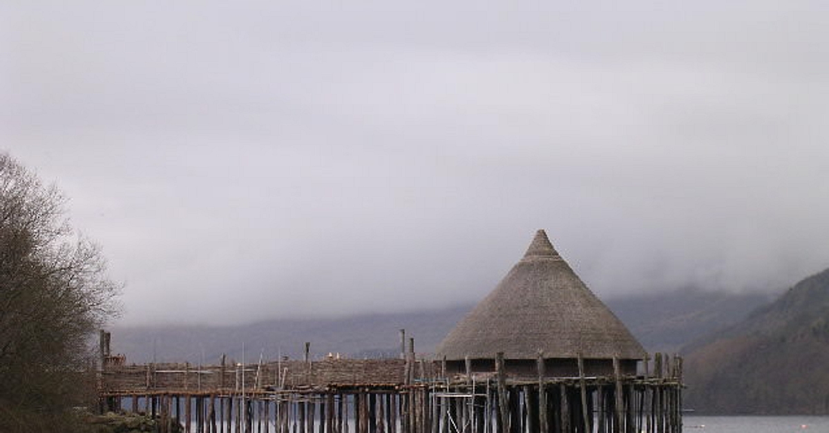 Crannog in CortialCrannog · 355 yd
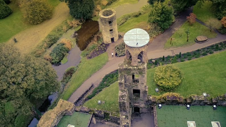 Man-made underground passage in CarrickrobinMan-made underground passage · 703 yd
 Killycroney Bridgebridge · 881 yd
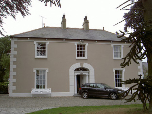 Killycroney Househouse · 1222 yd
 Mount AshCastle, motte · 1.3 mi
 CastleCastle, unclassified · 1.7 mi
 Photo GalleryHeritage attraction · 3.5 mi
 Dundalk CentralHeritage attraction · 3.5 mi
 Sky HillMountain / peak · 3.8 mi
 Maid of ErinMemorial · 4.0 mi
 Bombing 1975Memorial · 4.0 mi
 Ballsmill Amenity LandPicnic place · 4.3 mi