What is recorded here
RATH in Corry, County Fermanagh, remains a scheduled archaeological site, marking a place where human hands shaped the earth long before modern memory. The name Rath suggests a fortified enclosure or cultivated boundary, yet the ground itself gives no further detail. It stands as a quiet reminder that even ordinary-looking land may hide the edges of forgotten lives.
The official Northern Ireland record identifies this as RATH. Recorded period: E.CHRIST.. Recorded protection: Scheduled. The official map point was placed at the centre of the recorded archaeological site from the source map reference.
The monument record does not grant public access. Check the route and ask the landowner before entering private land.
- What survives
- Recorded monument
Places near here
 RathArchaeological place · 10 yd
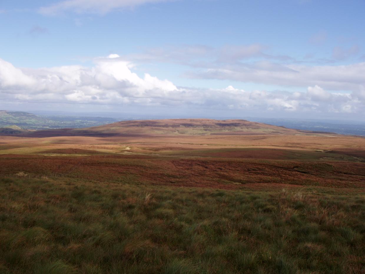 DrumettaghMountain / peak · 997 yd
 FormilMountain / peak · 1339 yd
 Corraquill ForestForest · 1.1 mi
 CrannodIslet · 1.3 mi
 Camalier ForestForest · 1.5 mi
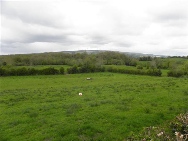 Enclosure in CuillaghanEnclosure · 1.5 mi
 Old Aghalane BridgeRuins · 2.1 mi
 Castel Bagshaw in RuinsCastle, unclassified · 2.3 mi
 Slieve Russell Housecountry house · 2.6 mi
 Inisherk Trail, CromWalking route · 2.9 mi
 Swallow HoleCave · 3.0 mi