What is recorded here
Fairy forts are human places misnamed, often built or changed in medieval times and remembered through folklore rather than proven magic. In Corry, a broad earthen bank still marks a small circular home or stronghold in open pasture, even though ploughing and development have removed half of it. The surviving ridge invites imagination, but the honest answer is that people lived there, shaped the land and disappeared from the story.
In level pasture. Depicted as a circular enclosure with the designation 'Fort' on the 1837 ed. of the OS 6-inch map. A slightly raised circular area (diam. 26.5m) enclosed by a bank of earth and stone (Wth 8-9.5m; H 0.6-0.8m) from W-N-E. The S half has been destroyed and is not visible at ground level. A report in 1986 (SMR file) noted an external fosse and suggested that the original entrance may have been at NE. These features are no longer evident.
Compiled by: Patrick F. O'Donovan
Date of upload: 26 August 2011
This remains an important historical record, but the official description says the monument is no longer visible or has been destroyed. The monument record does not grant public access. Check the route and ask the landowner before entering private land.
- What survives
- No visible remains or recorded as destroyed
Places near here
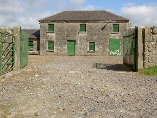 Curry Housefarmyard complex · 246 yd
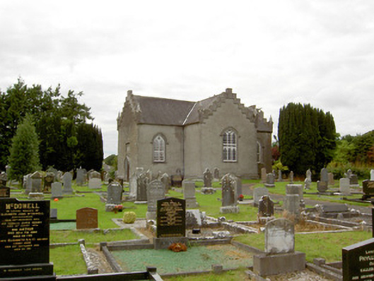 Saint Paul's Church (Clongesh)church/chapel · 854 yd
 Pedunculate OakPedunculate Oak · 1016 yd
 Common LimeCommon Lime · 1077 yd
 CastleforbesCastle · 1520 yd
 Bawn in Castleforbes DemesneBawn · 1578 yd
 IndicatedFairy fort / earthen ringfort · 1.1 mi
 Enclosure in LismoreEnclosure · 1.2 mi
 Saint Mel's CathedralCathedral · 2.9 mi
 First World War MemorialMemorial · 2.9 mi
 Graveyard in Curry (ardagh By., Coolamber Ed)Graveyard · 5.0 mi
 Commons North WalkVisitor information · 8.6 mi