What is recorded here
Indicated is a fulacht fia in County Cavan, Ireland, hidden beneath a field boundary and remembered only through a surviving circular outline near a valley stream. It may have steamed food, cleaned tools or marked a local gathering place, while people forgot the name and purpose until measurement recovered the shape. The loss is ordinary in rural Ireland, where useful places became anonymous before records existed.
Marked 'Fort' on OS 1836 and 1876 eds. Situated at the base of a valley adjacent to a stream. An earlier report (OPW 1977) described a slightly raised, small circular area (int. diam. c. 19m) enclosed by a narrow earthen bank and very slight traces of a fosse. Site has been levelled largely-as a result of the construction of a field boundary running N-S. Nonetheless its outline may still be traced.
The above description is derived from the published 'Archaeological Inventory of County Cavan' (Dublin: Stationery Office, 1995). In certain instances the entries have been revised and updated in the light of recent research.
Date of upload/revision: 22 December 2008
The monument record does not grant public access. Check the route and ask the landowner before entering private land.
- What survives
- Recorded monument
Places near here
 Corratober UpperMountain / peak · 403 yd
 IndicatedFairy fort / earthen ringfort · 407 yd
 Sweat Ho.Sweathouse · 906 yd
 CarrickbrannanMountain / peak · 1.0 mi
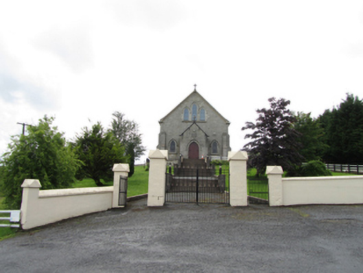 Church of the Immaculate Conceptionchurch/chapel · 1.1 mi
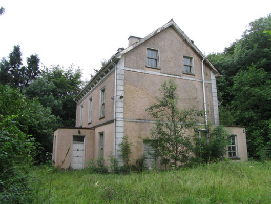 Corrard Househouse · 1.2 mi
 TobermurrySpring · 1.4 mi
 Corrard ForestForest · 1.4 mi
 PlaygroudCliff · 2.1 mi
 Republican Garden of RemembranceMemorial · 2.1 mi
 CarrignahastaCliff · 2.7 mi
 Shannon PotSpring · 2.9 mi