What is recorded here
Fairy forts across Ireland are usually earthen rings or hollows that people stopped building before they started recording history. Corraghdown is no different: a forgotten circular place on a farm slope, likely marked once and lost again. The interesting part is not whether fairies lived there, but whether humans first built or avoided the shape, then let folklore take over when the purpose faded.
Located towards the bottom of an E-facing slope but above the fairly steep slope down to a SSW-NNE section of the Mountain Water River, which is c. 40m to the E. A circular embanked enclosure (ext. diam. c. 35m) is depicted on the 1834 edition of OS 6-inch map where it is described in gothic lettering as a ‘fort’. No archaeological feature is visible at ground level in pasture.
The above description is derived from the published 'Archaeological Inventory of County Monaghan' (Dublin: Stationery Office, 1986). In certain instances the entries have been revised and updated in the light of recent research.
Date of revision: 30 August 2017
The monument record does not grant public access. Check the route and ask the landowner before entering private land.
- What survives
- Recorded monument
Places near here
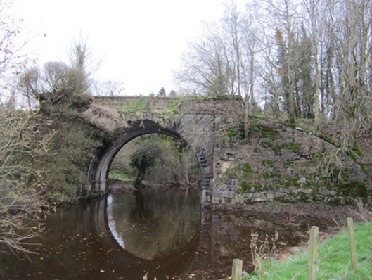 bridgebridge · 675 yd
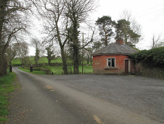 Leek Housegate lodge · 691 yd
 Enclosure in LeekEnclosure · 751 yd
 Harry LaveryMemorial · 943 yd
 Caucasian FirCaucasian Fir · 1290 yd
 Sitka SpruceSitka Spruce · 1292 yd
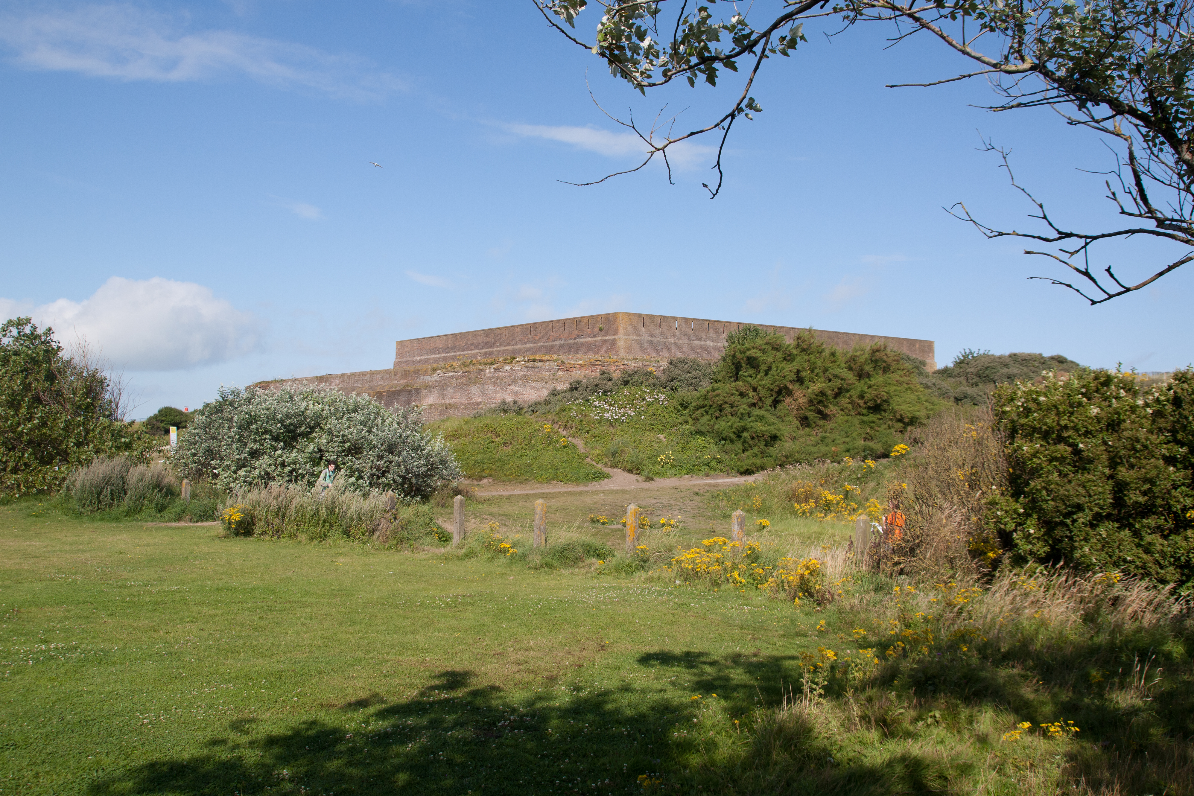 Bastioned fort in GlasloughBastioned fort · 1676 yd
 Emyvale Heritage TrailVisitor information · 3.3 mi
 St. Muadain's WellSpring · 5.7 mi
 Navan FortArchaeological place · 7.4 mi
 Battle of BenburbMajor battlefield · 7.7 mi
 CrannogIsland · 8.3 mi