
What is recorded here
Cairn, County Longford: a low circular stone dome, sixteen metres across, split by a field boundary on the SW slope of Corn Hill. Its smaller part has vanished, a quarry hole bites through the centre, yet from the remaining ridge the land still unfolds in every direction except where higher ground blocks the view. Perhaps people once climbed this slope to mark a life event or watch the weather turn. The stones did not warn against entry; they invited attention, then waited patiently while the world rearranged itself around them.
On the SW slope of Corn Hill; c. 120m to the NE, at the highest point, is a possible passage tomb (LF005-017----). Panoramic views are afforded except from NE–E–ESE where limited by higher ground. This low, circular, dome-shaped cairn (diam. at base 16.2m; max. H 1.2m) is divided into two unequal portions by an ENE–WSW field boundary (which also marks the boundary between the two townlands). The smaller portion, to the NNW (in Dooroc townland), has been destroyed. The cairn material is interspersed with earth and peat and a quarry-hole has been dug into the centre of the monument.
Compiled by: Patrick F. O'Donovan
Date of upload: 27 February 2012
This remains an important historical record, but the official description says the monument is no longer visible or has been destroyed. The monument record does not grant public access. Check the route and ask the landowner before entering private land.
- What survives
- No visible remains or recorded as destroyed
Places near here
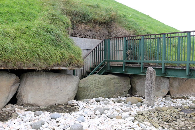 Passage tomb in Dooroc,corneddanPassage tomb · 193 yd
 Holy WellHoly well · 1349 yd
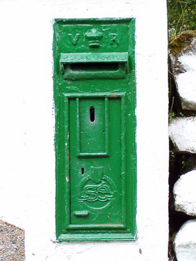 post boxpost box · 1.3 mi
 Esker SchoolRuins · 1.8 mi
 CastleCastle, unclassified · 2.7 mi
 Bawn in CurrycahillBawn · 3.1 mi
 Bully's Acregraveyard/cemetery, unknown · 3.2 mi
 Ballinalee Forest WalkForest · 3.6 mi
 Ballinamuck Bog LoopWalking route · 4.0 mi
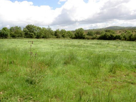 battlefieldbattlefield · 4.0 mi
 Native Woodland Trust: Farnaght ReserveWood · 4.3 mi
 Granard MotteMotte-and-bailey castle remains · 9.1 mi
Other information
Photo: Credit not shown in the picture search · Rights wording not checked; contact us if this picture should be removed