
What is recorded here
Indicated is a phantom fort on a Monaghan rise, drawn as a twenty-five metre circle in 1834 but reduced to an ordinary field bank by 1907. The survey line captured a shape that human hands never built, exposing the danger of trusting certainty when the landscape refuses to confirm it.
Located on a broad rise. A circular enclosure with trees on the perimeter (diam. c. 25m) is depicted on the 1834 edition of the OS 6-inch map and traces of the perimeter could survive in a curving field bank W-N on the 1907 edition. This field bank is extant but there is no evidence of an ancient archaeological feature.
The above description is derived from the published 'Archaeological Inventory of County Monaghan' (Dublin: Stationery Office, 1986). In certain instances the entries have been revised and updated in the light of recent research.
Date of revision: 13 December 2017
The monument record does not grant public access. Check the route and ask the landowner before entering private land.
- What survives
- Recorded monument
Places near here
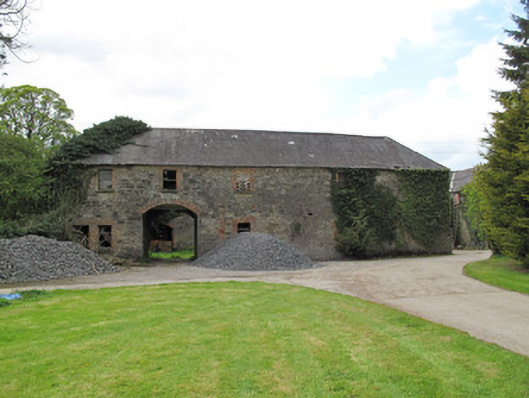 Raconnelloutbuilding · 573 yd
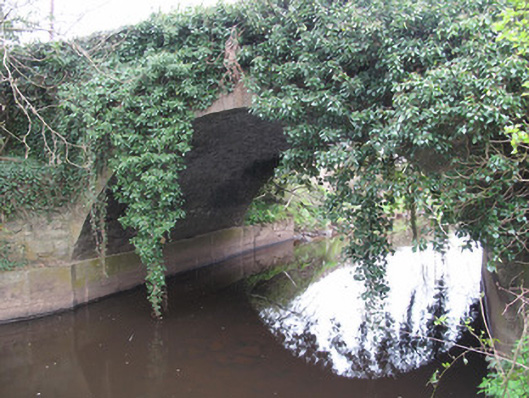 Raconnell Bridgebridge · 660 yd
 Hearth in Crosses (monaghan By; Monaghan Par.)Hearth · 870 yd
 Crannog in DrumreaskCrannog · 1266 yd
 European ashEuropean ash · 1277 yd
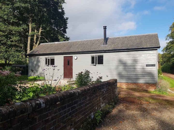 Gamekeeper's WoodForest · 1640 yd
 Monaghan County MuseumMuseum · 1.4 mi
 Rossmore MonumentMemorial · 1.5 mi
 Bawn in Roosky (monaghan By., Monaghan Par.)Bawn · 1.5 mi
 Banba GiantHeritage attraction · 2.0 mi
 Rough HillMountain / peak · 2.9 mi
 Castleshane WaterfallWaterfall · 5.2 mi
Other information
Photo: Credit not shown in the picture search · Rights wording not checked; contact us if this picture should be removed