
What is recorded here
Located on a steep S facing slope of a drumlin, and discovered during monitoring (Excavation Licence 00E0011). A sub-rectangular sunken feature (dims c. 1.9m x 1.1m; D 0.24m) with steep sides and a flat base of scorched earth was filled with charcoal and is interpreted as a hearth. It was located c. 60m W of two similar hearths (MO009-070---- and MO009-071----). (McLoughlin and Stafford 2000, 3)
Date of upload: 14 April 2011
The monument record does not grant public access. Check the route and ask the landowner before entering private land.
- What survives
- Recorded monument
Places near here
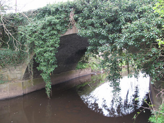 Raconnell Bridgebridge · 356 yd
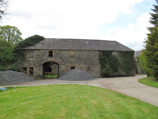 Raconnelloutbuilding · 684 yd
 IndicatedFairy fort / earthen ringfort · 870 yd
 European ashEuropean ash · 1478 yd
 Crannog in DrumreaskCrannog · 1.1 mi
 Monaghan County MuseumMuseum · 1.4 mi
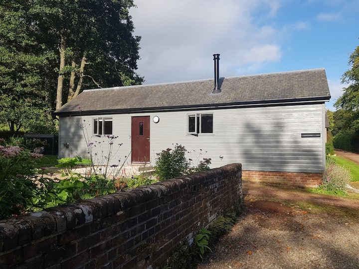 Gamekeeper's WoodForest · 1.4 mi
 Rossmore MonumentMemorial · 1.5 mi
 Bawn in Roosky (monaghan By., Monaghan Par.)Bawn · 1.5 mi
 Banba GiantHeritage attraction · 2.3 mi
 Rough HillMountain / peak · 3.4 mi
 Castleshane WaterfallWaterfall · 5.0 mi
Other information
Photo: Credit not shown in the picture search · Rights wording not checked; contact us if this picture should be removed