What is recorded here
Kinahan recorded a standing stone north or northeast of the underground passage in Corkey, marked by buried flint chips, but nobody could ever find the exact spot. The stone may have fallen, been moved, or never existed at all, leaving only a vague memory behind. What is certain is that people believed it stood there, and belief often shapes landscape as much as stone does.
Kinahan (1885-6, 428) records that 'somewhere to N or NE' of the Man-made underground passage (1462) 'there is said to be a stone, having a number of flint chips buried by its side; the exact place, however, could not be ascertained.' No trace of this could be found.
The above description was derived from the 'Archaeological Survey of County Donegal. A description of the field antiquities of the County from the Mesolithic Period to the 17th century.' Compiled by: Brian Lacey with Eamon Cody, Claire Cotter, Judy Cuppage, Noel Dunne, Vincent Hurley, Celie O'Rahilly, Paul Walsh and Seán Ó Nualláin (Lifford: Donegal County Council, 1983). In certain instances the entries have been revised and updated.
Date of upload: 22 September 2008
The monument record does not grant public access. Check the route and ask the landowner before entering private land.
- What survives
- Recorded monument
Places near here
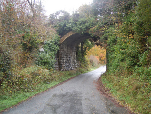 bridgebridge · 200 yd
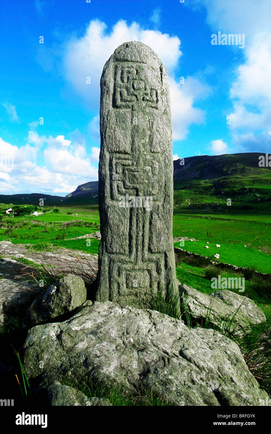 Pluck Standing StoneArchaeological place · 531 yd
 Connaghan's Bridgebridge · 576 yd
 Giants BedFortification · 1356 yd
 CastleCastle, unclassified · 1.1 mi
 Dry Arch MonumentHeritage attraction · 2.3 mi
 Lurgybrack Open FarmHeritage attraction · 2.5 mi
 Mongorry HillMountain / peak · 3.0 mi
 European YewEuropean Yew · 3.6 mi
 RowanRowan · 3.6 mi
 Bawn in LetterkennyBawn · 4.1 mi
 Battle of Scarrifholisbattle · 6.4 mi