
What is recorded here
Inis Fada stretches four and a half kilometres through rough Atlantic water, narrow enough that wind crosses it in seconds yet long enough to hold abandoned cottages, a copper mine road and a lighthouse that still marks Schull Harbour. Three hundred people lived there in 1841; seventeen remain now, reaching the island by a small ferry that leaves Colla Pier across six hundred metres of channel. The departure did not erase the place. It exposed the shape of the place, a long ribbon where human life advanced, retired and leaves its homes open to the sky.
Long Island is recorded as a islet in County Cork. Its open map record supplies this location and any linked names or public references.
Places near here
 Garinish IslandIslet · 236 yd
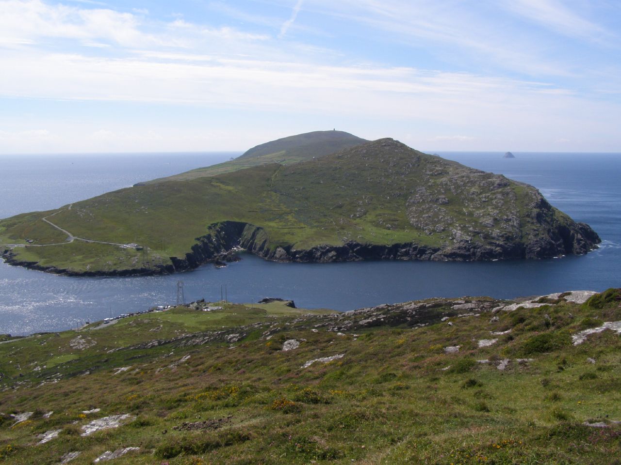 Man-made underground passage in Garinish (bear By., Kilnamanagh Par.)Man-made underground passage · 244 yd
 Little IslandIslet · 273 yd
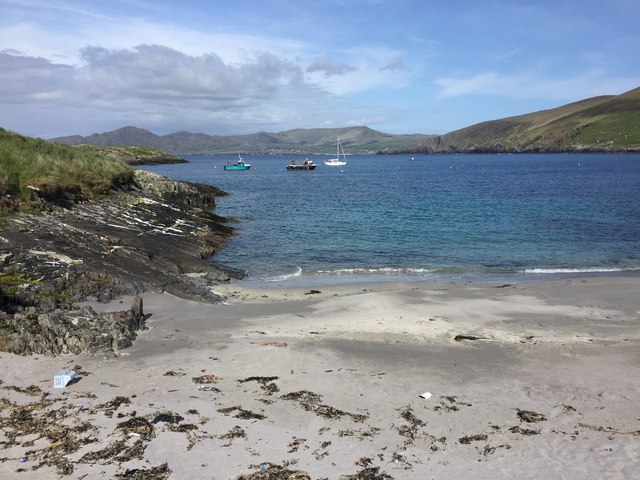 White StrandBeach / strand · 435 yd
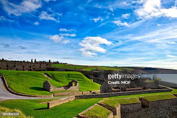 TranaduileasgBeach / strand · 631 yd
 Garnish StrandBeach / strand · 801 yd
 Stone rowArchaeological place · 1012 yd
 Signal Station FlagstaffRuins · 1603 yd
 LackacroghanMountain / peak · 1.3 mi
 Chapel (in Ruins)Church · 1.6 mi
 Fort (in Ruins)Castle, unclassified · 1.7 mi
 Serough IslandIslet · 2.6 mi
Other information
Photo: Credit not shown in the picture search · Rights wording not checked; contact us if this picture should be removed