
What is recorded here
Mogeely Castle stands on the River Bride flood plain in County Cork, its 46-metre square bawn now crowded with farm sheds and abandoned buildings. Western and northern walls still rise 4 to 5 metres, preserving a 17-by-10-metre hall corner and a vaulted chamber with a garderobe chute. The stones record Desmond ownership, Walter Raleigh plantation, Sir William St Leger residence and the 1645 Castlehaven bombardment that ended its martial purpose.
Mogeely Castle is recorded as a castle in County Cork. Its open map record supplies this location and any linked names or public references.
Mogeely Castle was built in the 15th century by the Fitzgerald family, Earls of Kildare, and later held by the Butler family. It is remembered as a significant medieval stronghold in County Cork, reflecting the power struggles and territorial control of prominent Irish noble families during the late Middle Ages.
Places near here
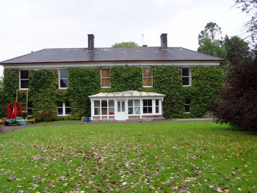 Mogeely Housecountry house · 120 yd
 Mogeely Bridgebridge · 146 yd
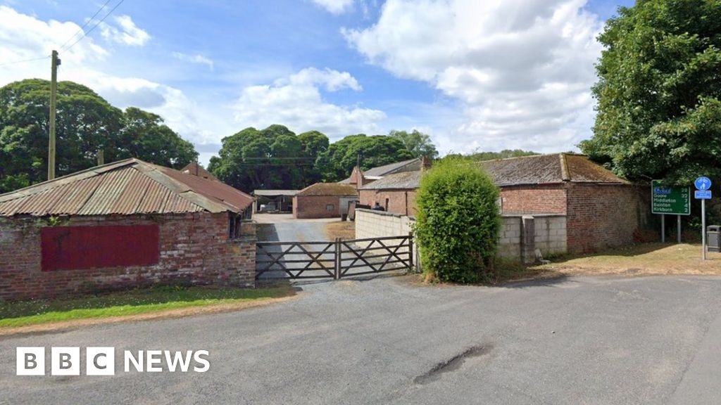 Settlement desertedSettlement deserted, medieval · 770 yd
 Graveyard in Curraheen (kinnatalloon By.)Graveyard · 1707 yd
 CastleCastle, unclassified · 1.5 mi
 Field system in ConnaField system · 1.5 mi
 Castlebrook forestWood · 1.5 mi
 Sheanmore Castle (in ruins)Castle, tower house · 1.6 mi
 Tallow HillMountain / peak · 3.2 mi
 Aghern CemeteryWood · 3.6 mi
 Mocollop Picnic SitePicnic place · 3.9 mi
 Salt HillMountain / peak · 4.9 mi
Other information
Photo: Credit not shown in the picture search · Rights wording not checked; contact us if this picture should be removed