What is recorded here
Half-hidden beneath grass and bramble on a quiet knoll in County Leitrim, the embanked enclosure keeps its shape like a breath held since before written memory. Its curved scarps and faint earthen rim suggest hands that dug, carried, and released earth without praise. The eastern gap still points outward, inviting entry into a chamber now filled only with rain, root pressure, and the patience of soil. What lived inside may have been ordinary, but ordinary human life is exactly what the land has stopped repeating.
Situated on a knoll in a small basin. This is an overgrown D-shaped area (dims 34.5m N-S; 32.3m E-W) defined by a scarp (H 0.7m at N to 1.2m at W) SW-NE and by an intermittently visible earthen bank (Wth 2.5m; int. H 0.5m; ext. H 0.7m) NE-SE. The entrance (Wth 2.4m) is at E and the monument is truncated by an E-W field bank (L 17m) at S.
The above description is derived from 'The Archaeological Inventory of County Leitrim' compiled by Michael J. Moore (Dublin: Stationery Office, 2003). In certain instances the entries have been revised and updated in the light of recent research.
Date of upload: 23 September 2008
The monument record does not grant public access. Check the route and ask the landowner before entering private land.
- What survives
- Recorded monument
Places near here
 No indicatedFairy fort / earthen ringfort · 1.0 mi
 Mass-rock in TullynascreenMass-rock · 1.2 mi
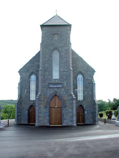 Saint Mary's Catholic Churchchurch/chapel · 1.3 mi
 St. Michaels ChurchChurch · 1.4 mi
 Old HallCastle, hall-house · 2.8 mi
 MoteCastle, motte · 3.2 mi
 Carrane HillCliff · 4.2 mi
 Green IslandIslet · 4.3 mi
 Cullentra ForestForest · 4.5 mi
 Trawane BayBay · 4.9 mi
 SlishwoodWood · 5.0 mi
 InnisfreeIslet · 5.0 mi
Other information
Photo: Credit not shown in the picture search · Rights wording not checked; contact us if this picture should be removed