What is recorded here
Corderry’s fairy fort is a genuine dual-banked ringfort, not a childish fantasy. Its measurable banks, central hollow and eastern entrance show that people built and used the place before it acquired a magical name. The fairy label may be local invention or displaced memory, but the earthwork itself remains clear: a made space where human hands shaped the ground and later storytelling layered wonder upon that practical craft.
The following description is derived from both the published 'Archaeological Inventory of County Louth' (Dublin: Stationery Office, 1986) and the 'Archaeological Survey of County Louth' (Dublin: Stationery Office, 1991). In certain instances the entries have been revised and updated in the light of recent research.
Date of upload/revision: 17 July 2007
Oval area (int. diam. c. 50m E-W, 36m N-S) enclosed by two banks with intervening fosse. Inner bank (Wth c. 8m; H 0.3m internally, c. 3m externally), fosse (Wth 7m) and outer bank (Wth 7.5m, H 1.8m internally, 2.6m externally). Outer bank visible only from W-N-E. Entrance gap (Wth 2.8m) in inner bank at E. Tradition of 'cave' (LH011-064002-) at site.
The monument record does not grant public access. Check the route and ask the landowner before entering private land.
- What survives
- Recorded monument
Places near here
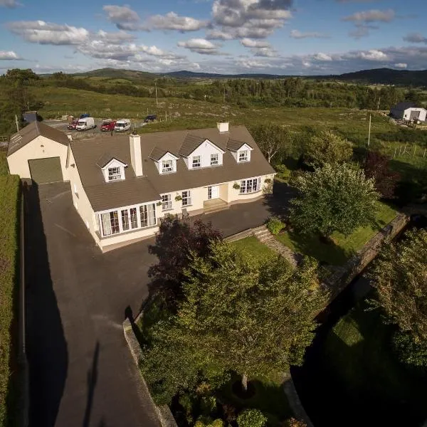 Man-made underground passage in CorderryMan-made underground passage · 111 yd
 Cave (Site of)Man-made underground passage · 999 yd
 Church (in Ruins)Church · 1555 yd
:no_upscale()/cdn.vox-cdn.com/uploads/chorus_asset/file/25593391/County_Louth_6th.jpg) LouthMountain / peak · 1579 yd
LouthMountain / peak · 1579 yd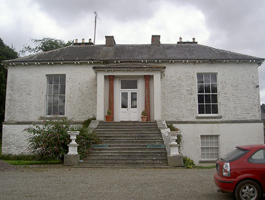 Corderry Housecountry house · 1581 yd
 CastleCastle, tower house · 1.5 mi
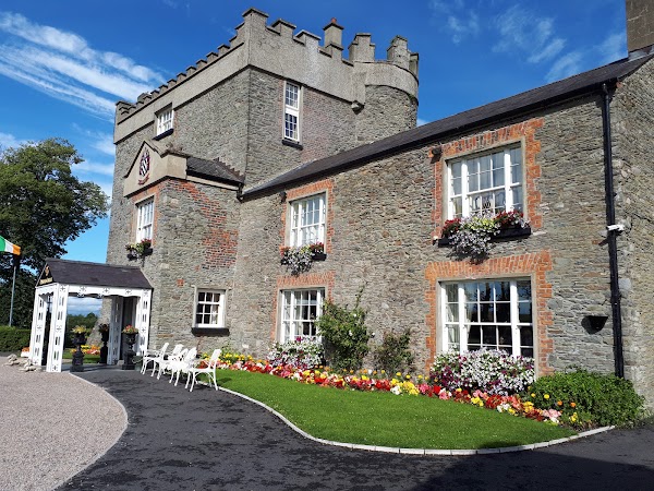 Darver CastleCastle · 2.2 mi
 Photo GalleryHeritage attraction · 5.6 mi
 Dundalk CentralHeritage attraction · 5.7 mi
 Maid of ErinMemorial · 6.1 mi
 Bombing 1975Memorial · 6.1 mi
 Sky HillMountain / peak · 7.8 mi