What is recorded here
Rain and cattle have worn the fortress into a shallow ring, yet the broken eastern bank still points to its entrance. The fairies may have fled the wet pasture, but human hands shaped the circle before forgetting its name. A ghost barrow watches from thirty metres south, waiting for someone busy enough to stop and listen.
On a gentle WNW-facing slope in wet, low-lying pasture. A raised circular area (diam. 27.2m) enclosed by a much-denuded, low bank of earth and stone (H 0.25m max.), with a shallow intervening fosse (D 0.15m) and an outer bank (H 0.9m). Breaks (Wth 3.3m) in banks at ENE mark the original entrance. A possible barrow (LF014-121----) lies c. 33m to the S.
Compiled by: Patrick F. O'Donovan
Date of upload: 26 August 2011
The monument record does not grant public access. Check the route and ask the landowner before entering private land.
- What survives
- Recorded monument
Places near here
 BarrowBarrow, unclassified · 57 yd
 KilnKiln, lime · 504 yd
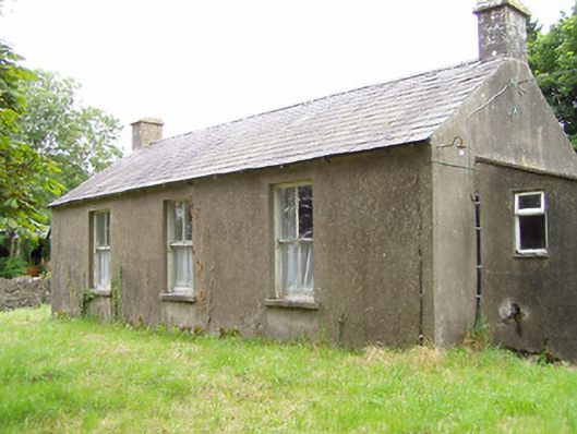 Corboy National Schoolschool · 638 yd
 Enclosure in CloonahardEnclosure · 1.0 mi
 Oldtown DemesneForest · 1.1 mi
 Oldtown CopseWood · 1.2 mi
 Bawn in LissardowlanBawn · 1.5 mi
 CastleCastle, Anglo-Norman masonry castle · 1.5 mi
 Bully's Acregraveyard/cemetery, unknown · 4.8 mi
 Saint Mel's CathedralCathedral · 4.8 mi
 National Famine WayWalking route · 4.9 mi
 First World War MemorialMemorial · 4.9 mi