
What is recorded here
Beside an area of massive rock outcrop on the E side of a N-S valley with very fine views in all directions. Listed in the RMP (1996) as ‘Earthwork’, this enclosure (diam. c. 40m) is visible on the 1st ed. OS 6-inch map. Due to extensive quarrying and dumping of quarry soil, the monument is not visible at ground level. It is probably at least partially quarried out, however, portion of the monument may survive under quarry upcast.
Compiled by: Mary Tunney
Date of revised upload: 29 February 2016
The monument record does not grant public access. Check the route and ask the landowner before entering private land.
- What survives
- Recorded monument
Places near here
 Enclosure in CoorleaghEnclosure · 529 yd
 IndicatedGraveyard · 1.0 mi
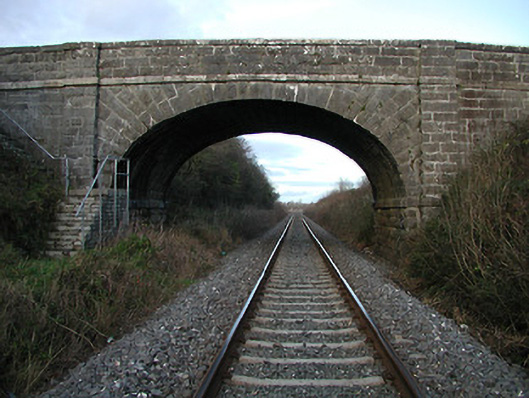 bridgebridge · 1.5 mi
 The Green GardenWood · 1.7 mi
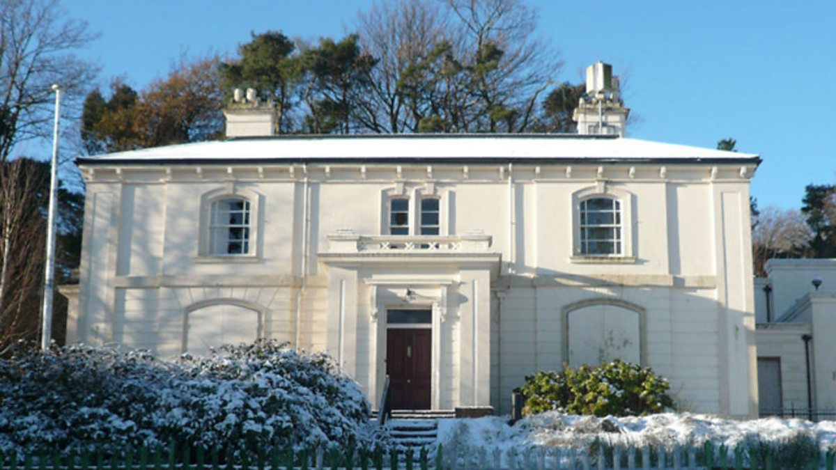 Shankill Church (in ruins)Church · 1.8 mi
 Freneystown CastleCastle, tower house · 2.7 mi
 Church (in ruins), GraveyardChurch · 2.8 mi
 Lock Keeper's House and Lodge MillsVisitor information · 3.7 mi
 Church, GraveyardChurch · 3.9 mi
 Moonhall Castle (ruins)Castle · 3.9 mi
 The Columban WayVisitor information · 4.2 mi
 St. Mogarra’s WellSpring · 4.3 mi
Other information
Photo: Credit not shown in the picture search · Rights wording not checked; contact us if this picture should be removed