
What is recorded here
Hachured stands as a circular earthen ringfort in gently undulating pasture, overlooking the River Shannon. O’ Donovan recorded its twenty-four-foot wall of stone and earth in 1841, confirming what local eyes had long seen. The fort has watched water flow for centuries, holding human life and forgotten stories within its unbroken circle.
In gently undulating pasture, overlooking the River Shannon, c. 870m to SW. Depicted on the 1841 ed. OS 6-inch map as a circular-shaped univallate ringfort (approx. diam. 34m). Recorded by O’ Donovan in 1841, ‘Cahereen is a circular fort about two chains in diameter, 24ft high composed partly of stones and earth’ (OSNB, 245). Visible as a tree-lined monument on Digital Globe orthophotos taken 2011-13 and Google Earth orthoimage taken 28/06/2018.
See attached Google Earth orthoimage 28/06/2018.
Compiled by: Alison McQueen and Vera Rahilly
Date of upload: 22 June 2020
The monument record does not grant public access. Check the route and ask the landowner before entering private land.
- What survives
- Recorded monument
Places near here
 Coreen Castle (in ruins)Castle, unclassified · 828 yd
 Not shown.Fulacht fia · 839 yd
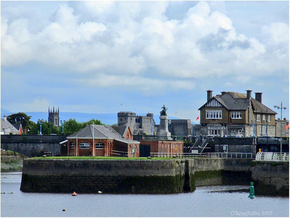 Enclosure in Coonagh EastEnclosure · 864 yd
 Coonagh NatureNature reserve · 1347 yd
 RoadRoad, road/trackway · 1.1 mi
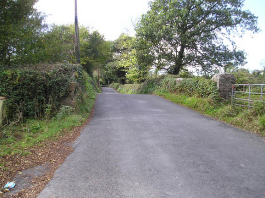 Meelick Bridgebridge · 1.2 mi
 Muckinish PointHeadland · 1.2 mi
 Cratloekeel CastleCastle · 1.6 mi
 St James's WellSpring · 2.1 mi
 Sailors HaggardMemorial · 2.2 mi
 Cratloe WoodsForest · 3.0 mi
 Ardnacrusha ToursMuseum · 4.1 mi
Other information
Photo: Credit not shown in the picture search · Rights wording not checked; contact us if this picture should be removed