
What is recorded here
Coomasaharn in County Kerry holds a twenty-metre field boundary thrown open by turf cutting, marking a forgotten division beside three rocks decorated with ancient lines. The boundary is not a grand wall but a single row of natural stones, yet it frames a place where human hands shaped the landscape and departed without warning. To walk past it is to meet the quiet arrogance of ownership, reminding us that even bare bog once belonged to someone who drew a line and believed it would last.
A short length of relict field boundary (orientation SSW-NNE) visible for a distance of c. 20m was exposed by turf cutting. Only a single row of natural rocks are visible above the level of the existing bog surface. A boulder (KE071-113----) decorated with rock art lies a short distance to WNW and two other stones (KE071-059----/058----) decorated with rock art lie to E and ESE respectively.
Compiled by: Matt Kelleher based on details provided by Tony Miller
Date of upload: 07 June 2019
The monument record does not grant public access. Check the route and ask the landowner before entering private land.
- What survives
- Recorded monument
Places near here
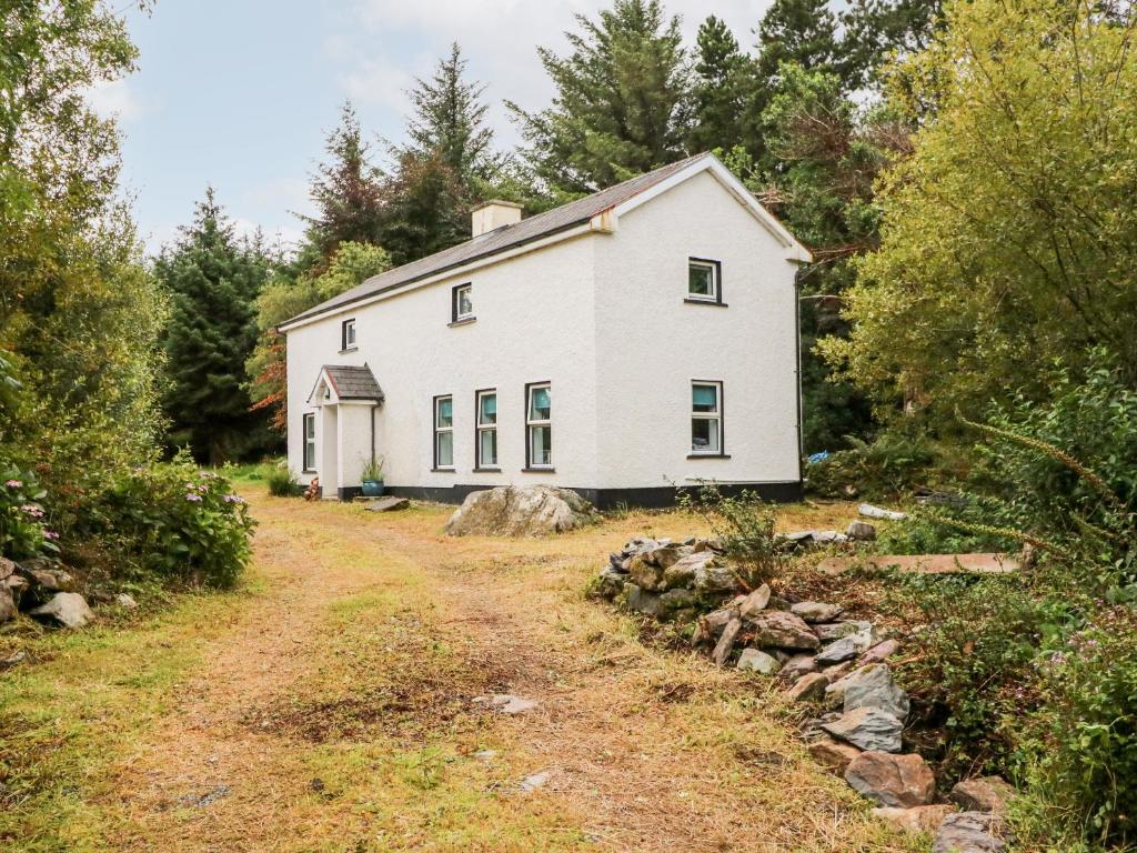 Enclosure in Kealduff UpperEnclosure · 555 yd
 Man-made underground passage in CoomasaharnMan-made underground passage · 712 yd
 Teeromoyle ToothMountain / peak · 1.7 mi
 BeenreaghMountain / peak · 1.8 mi
 Mountain StageViewpoint · 2.6 mi
 R.C. Chapel (in Ruins)Church · 3.0 mi
 Gowlane R.C. Chapel (in Ruins)Church · 3.3 mi
 FeaklecallyHeadland · 3.5 mi
 Sheep Dog TrainingHeritage attraction · 4.0 mi
 Rossbeigh BeachBeach / strand · 4.1 mi
 Soft Tree-fernSoft Tree-fern · 4.7 mi
 Chilean wine palmChilean wine palm · 4.7 mi
Other information
Photo: Credit not shown in the picture search · Rights wording not checked; contact us if this picture should be removed