What is recorded here
In pasture, located at the base of a low hill at the W edge of a boggy hollow.
This fulacht fia was exposed during topsoil stripping in the course of works associated with the construction of a sewage treatment plant in an adjacent field to S. As the site lay outside the development area, it was not excavated but was recorded, covered by geotextile and backfilled. The ground level of this area was raised by 1.5m as protection from further disturbance.
The exposed archaeological features covered an area of 5.4m NE–SW by 7.4m NW–SE and comprised four distinct adjacent spreads of heat-shattered stones and charcoal-rich soil, which were interpreted as the levelled remains of a fulacht fia. One of the spreads formed a distinct rectangular outline, 1.6m x 0.8m, that suggested it might represent an infilled trough. A flint core and a chert flake were recovered. (Pers. comm. Richard Gillespie, Mayo Co. Co)
Compiled by: Jane O'Shaughnessy
Date of upload: 24 February 2023
The monument record does not grant public access. Check the route and ask the landowner before entering private land.
- What survives
- Recorded monument
Places near here
 All Souls' Church (Crossboyne)church/chapel · 741 yd
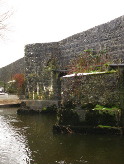 Crossboyne Bridgebridge · 764 yd
 Enclosure in Derry (clanmorris By., Crossboyne Par.)Enclosure · 939 yd
 Geoffrey's WoodForest · 1188 yd
 IndicatedEnclosure · 1319 yd
 CastlemagarretCastle · 1741 yd
 Bawn in Castlemagarretpark OldBawn · 1754 yd
 Oak WoodForest · 1.5 mi
 Land of the GiantsHeritage attraction · 1.9 mi
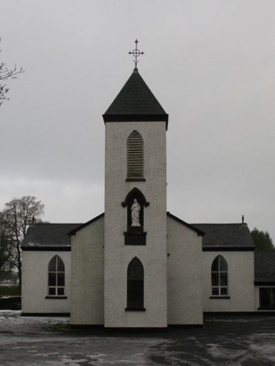 Saint Mary's Catholic Churchchurch/chapel · 860 yd
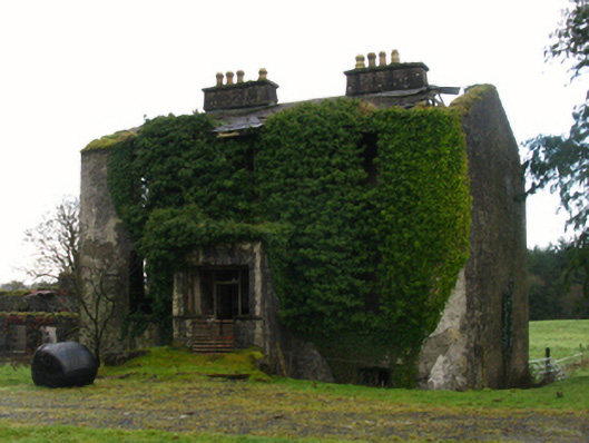 rectory/glebe/vicarage/curate's houserectory/glebe/vicarage/curate's house · 918 yd
 Carradoyne Housegate lodge · 1354 yd