What is recorded here
Aerial photographs (GB89.X.12 (1989) and GB91.EA.13 (1991)) show the cropmarks of an oval enclosure defined by a fosse, abutted at E and N by a possible field system (KD034-022001-).
Compiled by: Gillian Barrett
Date of upload: 12 December 2011
The monument record does not grant public access. Check the route and ask the landowner before entering private land.
- What survives
- Recorded monument
Places near here
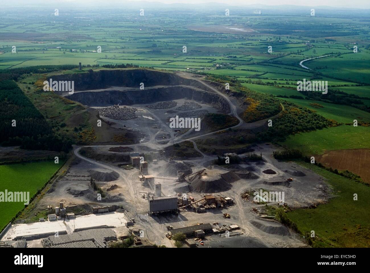 Enclosure in QuarryEnclosure · 505 yd
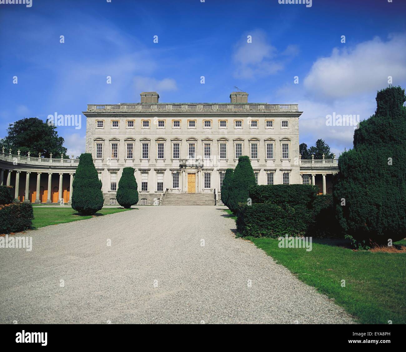 Enclosure in CoolroeEnclosure · 717 yd
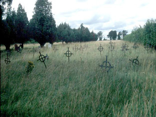 Saint Mary's Burial Groundgraveyard/cemetery · 1.1 mi
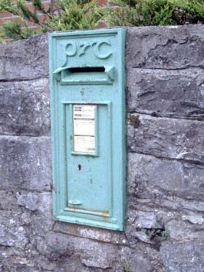 post boxpost box · 1.1 mi
 Woodstock Castle (in Ruins)Castle, hall-house · 1.4 mi
 Woodstock CastleRuins · 1.4 mi
 Gone FishingMemorial · 1.5 mi
 Ernest ShackletonMemorial · 1.6 mi
 Town HallMuseum · 1.6 mi
 Brackney WoodForest · 2.5 mi
 Scots PineScots Pine · 3.5 mi
 Cobbler's Castle WalkWalking route · 4.1 mi