What is recorded here
Indicated is a hidden D-shaped fort on the north slope of Knockroe Mountain, marked only by a broken line on an 1894 map and a straight lane beside it. Its underground passage opens inside another ancient site, suggesting layers of occupation rather than a single purpose. The earth has swallowed the rampart, but the shape remains in the survey, waiting for someone to dig through grass and memory.
In undulating pasture, on the N slope of Knockroe Mountain and c. 100m S of the Glasheencorgoad stream (SMR file). A D-shaped area (c. 20m E-W), with a Man-made underground passage (KE065-095001-) just off-centre to the N, is indicated on the 1894 OS 6-inch map by a broken line NW-SSW and by a linear NNW-SSE lane on the straight SW side (L c. 22m). This possible rath is not visible at ground level, although it was noted that some reclamation has taken place in the field (SMR file). This may be 'Lios Cúláin', as noted by Ó Cíobháin (1978, 99). The opening to the Man-made underground passage is located within the interior of a hut site (KE065-095----). (O'Sullivan and Sheehan (1996, 398, no. 1207)
The above description is derived from the published 'Archaeological Inventory of County Kerry. Volume I: South-West Kerry' (Dublin: Stationery Office, 2009). In certain instances the entries have been revised and updated in the light of recent research.
Date of upload: 30 May 2011
The monument record does not grant public access. Check the route and ask the landowner before entering private land.
- What survives
- Recorded monument
Places near here
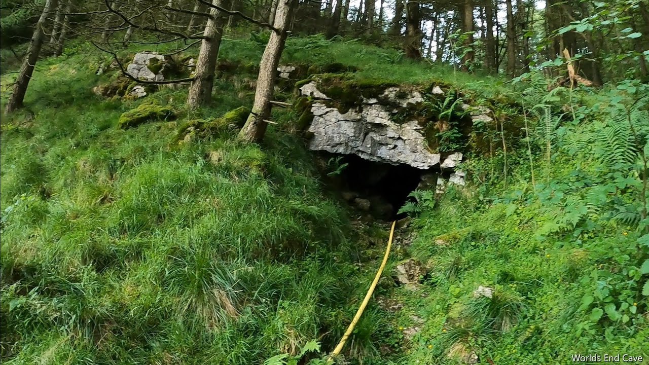 CaveMan-made underground passage · 1 yd
 Coolroe CaveMan-made underground passage · 317 yd
 KnockroeMountain / peak · 1074 yd
 KnockbrackMountain / peak · 1.1 mi
 Devil's Ladder RouteWalking route · 1.6 mi
 Crash site of USAAF DakotaHeritage attraction · 2.4 mi
 Killoughane Church (in Ruins)Church · 2.5 mi
 CarrauntoohilMountain / peak · 2.5 mi
 Castle Core (in Ruins)Castle, tower house · 2.9 mi
 Knockane Churchchurch/chapel · 3.1 mi
 Ballymalis Castle (in ruins)Castle, tower house · 3.8 mi
 Head of DunloeViewpoint · 4.2 mi