What is recorded here
Situated on the crest of a low rise overlooking the E end of Lower Lough Gara which is now reclaimed, and the S shore of which was c. 100m to the N. A circular grass-covered area (diam. 60m E-W) defined by a scarp (H 0.1-1.1m) is visible W-N-E. A farmyard impinges on the perimeter at E, which cannot be traced E-S-W but the outline of the enclosure (diam. c. 75m) can be seen on the OSI aerial images (2005). The church (RO005-013001-) and graveyard (RO005-013002-) are in the interior.
Compiled by: Michael Moore
Date of upload: 18 May 2015
The monument record does not grant public access. Check the route and ask the landowner before entering private land.
- What survives
- Recorded monument
Places near here
 Boyle NunneryChurch · 1 yd
 IndicatedFairy fort / earthen ringfort · 1280 yd
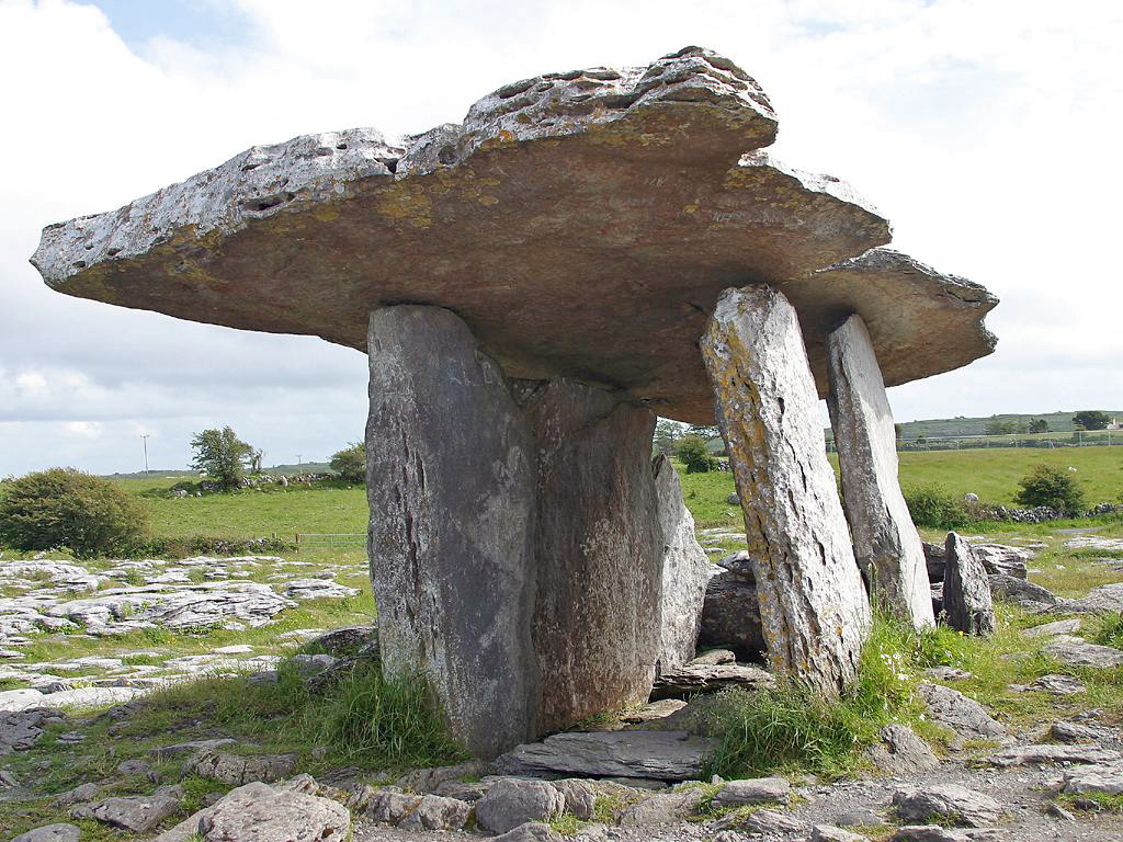 Drumanone DolmenArchaeological place · 1481 yd
 CastleCastle, unclassified · 1.5 mi
 Curlew MountainsMountain / peak · 2.0 mi
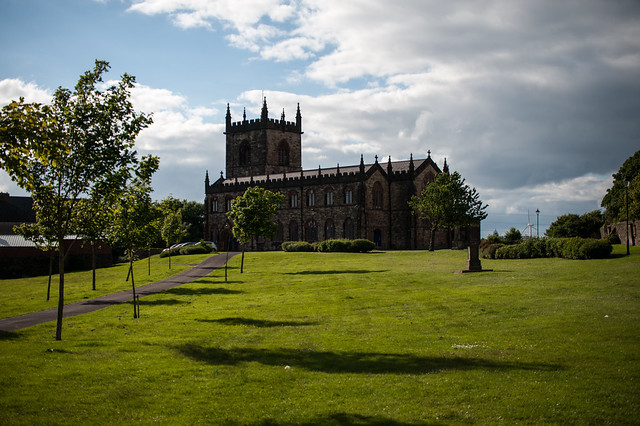 Assylin ChurchChurch · 2.1 mi
 Inch IslandIslet · 2.7 mi
 Castle (in Ruins)Castle, unclassified · 2.8 mi
 Castle PointHeadland · 2.9 mi
 King William MemorialMonument · 3.0 mi
 Crow IslandIslet · 3.1 mi
 Boyle AbbeyHeritage attraction · 3.1 mi