
What is recorded here
Indicated is a ruined fairy fort on an Offaly ridge, its earthen bank broken and outer defences erased. The surviving scarps and shallow ditch hint that people once shaped the land before forgetting or fate removed the rest.
Situated on top of a natural ridge running E-W in undulating countryside. Raised circular area (diam 50m E-W) enclosed by a gently sloping earthen bank (Wth 1m; ext. H 2.5m - 3.5m; int. H 0.5m) reduced in places to a scarp, poorly preserved outer bank totally destroyed in places with a wide flat bottomed intervening fosse (Wth 3.1m: ext. D 0.5m) with possible evidence of a causewayed entrance (Wth 5m) at E.
The above description is derived from the published 'Archaeological Inventory of County Offaly' (Dublin: Stationery Office, 1997). In certain instances the entries have been revised and updated in the light of recent research.
Date of upload: 23 May 2011
The monument record does not grant public access. Check the route and ask the landowner before entering private land.
- What survives
- Recorded monument
Places near here
 Enclosure in Coole (eglish By.)Enclosure · 203 yd
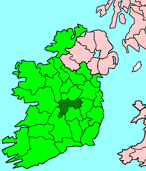 StructureStructure, peatland · 881 yd
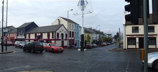 RoadRoad, class 3 togher · 899 yd
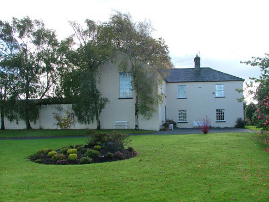 Clonbeale Housecountry house · 1424 yd
 Killyon Abbey (in ruins)Bawn · 1.0 mi
 Site of OCarrolls CastleCastle, unclassified · 1.3 mi
 Woodville WoodWood · 3.2 mi
 Birr Heritage CentreMuseum · 3.5 mi
 Oriental planeOriental plane · 3.5 mi
 James Franklin FullerMemorial · 3.6 mi
 Waterfall PointViewpoint · 3.8 mi
 The Great Telescope 'Leviathan'Heritage attraction · 3.8 mi
Other information
Photo: Credit not shown in the picture search · Rights wording not checked; contact us if this picture should be removed